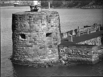
Monk Bretton Bridge, Rye
Map
Map

Facts and practical information
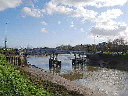
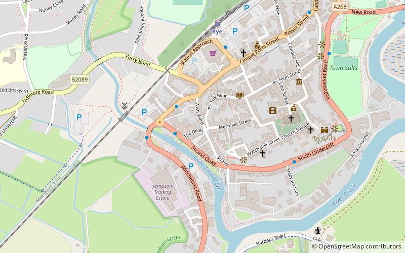
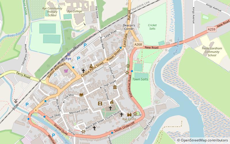
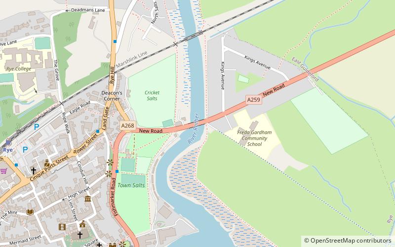
The Monk Bretton Bridge is a road bridge over the River Rother in Rye, East Sussex. It carries the A259 road, a major road between Folkestone and Hastings, and is the most downstream crossing of the river. The area around the river beyond this resembles saltmarsh compared to that further upstream. ()
Coordinates: 50°57'11"N, 0°44'21"E
Address
Rye
ContactAdd
Social media
Add
Day trips
Monk Bretton Bridge – popular in the area (distance from the attraction)
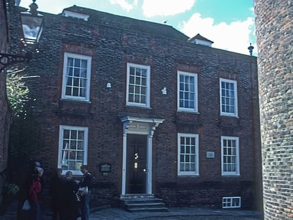
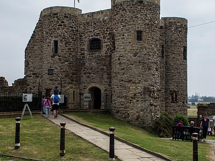
Nearby attractions include: Lamb House, Sussex Border Path, Rye Castle Museum, The Olde Bell.
Frequently Asked Questions (FAQ)
Which popular attractions are close to Monk Bretton Bridge?
Nearby attractions include Rye Austin Friary, Rye (6 min walk), Purdie Gallery, Rye (6 min walk), Rye Castle Museum, Rye (7 min walk), Lamb House, Rye (10 min walk).
How to get to Monk Bretton Bridge by public transport?
The nearest stations to Monk Bretton Bridge:
Train
Train
- Rye (10 min walk)
