Lamb House, Rye
Map
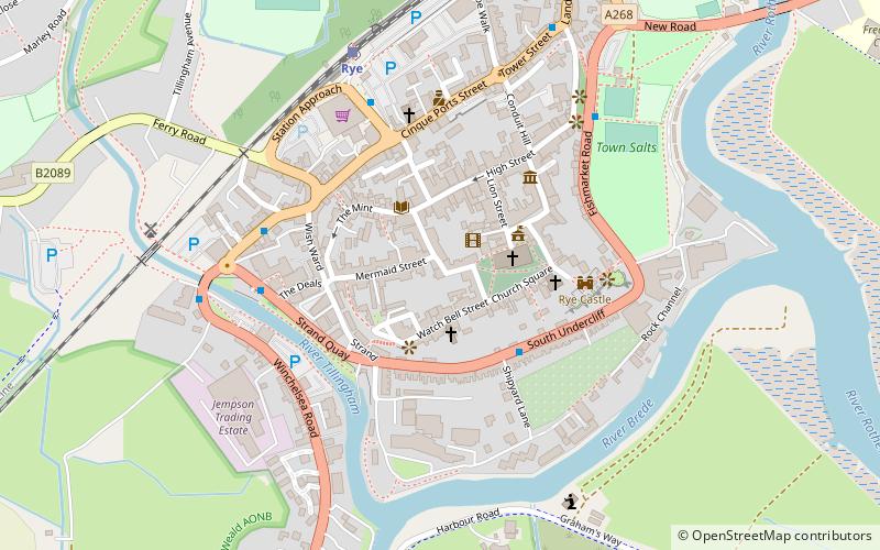
Map

Facts and practical information
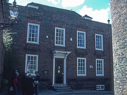
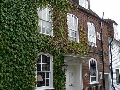
Lamb House is a Grade II* listed 18th-century house situated in Rye, East Sussex, England, and in the ownership of the National Trust. ()
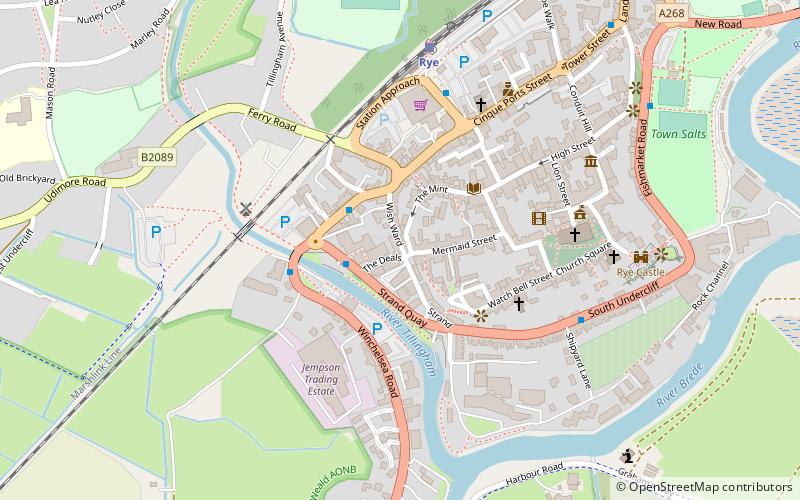
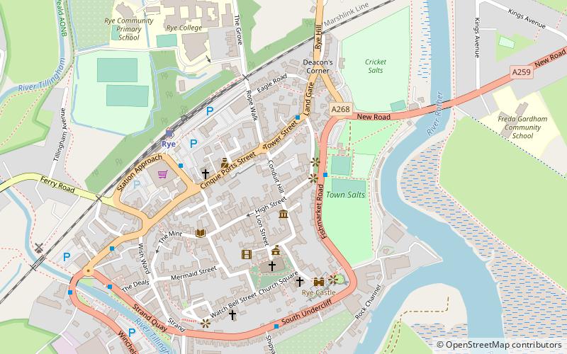
Coordinates: 50°56'60"N, 0°43'58"E
Day trips
Lamb House – popular in the area (distance from the attraction)
Nearby attractions include: Camber Castle, Sussex Border Path, Rye Castle Museum, The Olde Bell.
Frequently Asked Questions (FAQ)
Which popular attractions are close to Lamb House?
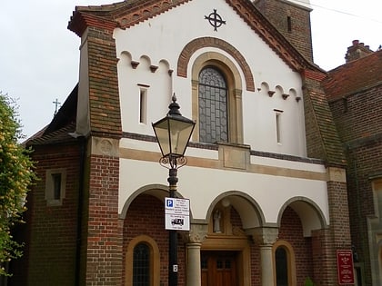
Nearby attractions include St Anthony of Padua, Rye (2 min walk), Rye Particular Baptist Chapel, Rye (2 min walk), Rye Pottery, Rye (3 min walk), Rye Castle Museum, Rye (3 min walk).
How to get to Lamb House by public transport?
The nearest stations to Lamb House:
Train
Train
- Rye (6 min walk)
