Gisburn Road School, Barnoldswick

Gallery (1)
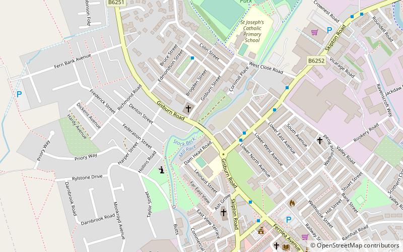
Map
Map
Facts and practical information
Gisburn Road School is a place located in Barnoldswick (England kingdom) and belongs to the category of bridge.
It is situated at an altitude of 499 feet, and its geographical coordinates are 53°55'10"N latitude and 2°11'23"W longitude.
Among other places and attractions worth visiting in the area are: Bancroft Mill Engine Trust (specialty museum, 15 min walk), St Michael's Church (church, 31 min walk), Church of St Mary le Ghyll (church, 31 min walk).
Coordinates: 53°55'10"N, 2°11'23"W
Day trips


