Rivey Hill
Map

Map

Facts and practical information
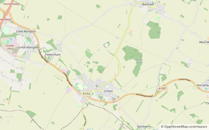
Rivey Hill is a hill overlooking Linton in Cambridgeshire. At 367 feet it is the highest point for several miles around. The hill has a steep slope leading down to Linton and a prominence of 69 feet. The highest point is on private land but a bridleway from Linton crosses near the top. A watertower on the hill identifies it when seen from a distance. ()
Elevation: 367 ftProminence: 69 ftCoordinates: 52°6'29"N, 0°17'12"E
Day trips
Rivey Hill – popular in the area (distance from the attraction)
Nearby attractions include: Gog Magog Golf Club, St Peter's Church, Bragg's Mill, St John's Church.


