Chantry Park, Ipswich
Map

Map

Facts and practical information
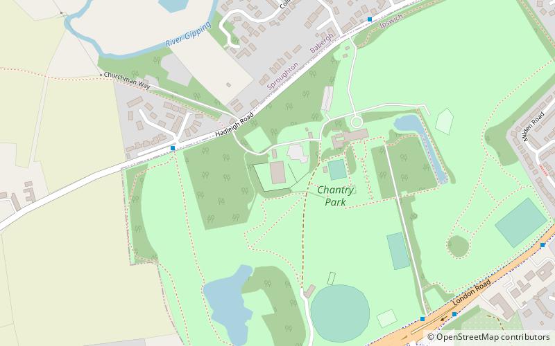
Chantry Park is a park located west of Ipswich town centre, in the Ipswich district, in the county of Suffolk, England. It is the largest park in Ipswich and extends over 124 acres. Chantry Park was opened to the public on 17 May 1928 and was designated a Conservation Area in 2005. ()
Elevation: 85 ft a.s.l.Coordinates: 52°3'12"N, 1°6'54"E
Day trips
Chantry Park – popular in the area (distance from the attraction)
Nearby attractions include: Broomhill Park, Alderman Canal East, Sir Bobby Robson Bridge, Gippeswyk Park.
Frequently Asked Questions (FAQ)
Which popular attractions are close to Chantry Park?
Nearby attractions include St Mark, Ipswich (15 min walk), One, Ipswich (19 min walk), Gippeswyk Park, Ipswich (22 min walk).
How to get to Chantry Park by public transport?
The nearest stations to Chantry Park:
Bus
Bus
- Robin Drive • Lines: 15, 15A, 93, 93A, X93 (8 min walk)
- Curlew Road • Lines: 15, 15A (8 min walk)


