Broomhill Park, Ipswich
Map

Map

Facts and practical information
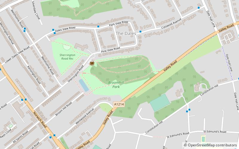
Broomhill Park is a semi-natural woodland park between Sherrington Road and Valley Road in Ipswich, Suffolk, England. In older times it was called Broom Hill. ()
Created: 1925Elevation: 115 ft a.s.l.Coordinates: 52°4'8"N, 1°8'37"E
Address
Central Ipswich (St. Margaret's)Ipswich
ContactAdd
Social media
Add
Day trips
Broomhill Park – popular in the area (distance from the attraction)
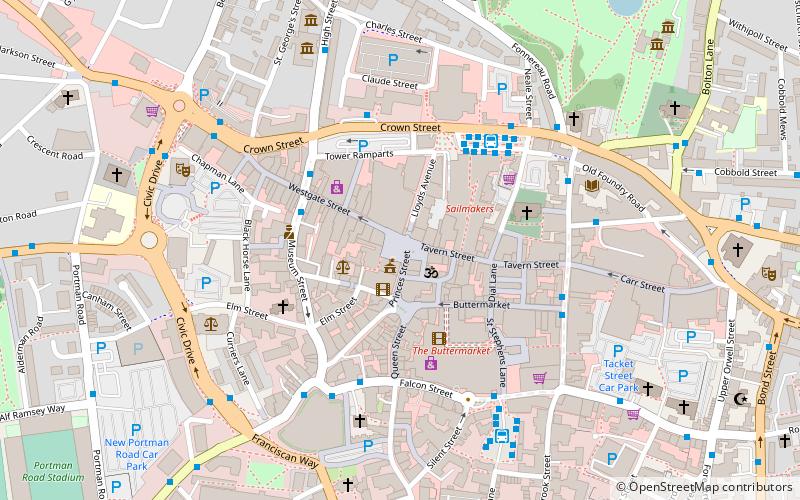
Nearby attractions include: Sailmakers Shopping Centre, Christchurch Park, Buttermarket Centre, Portman Road.
Frequently Asked Questions (FAQ)
Which popular attractions are close to Broomhill Park?
Nearby attractions include Broomhill Pool, Ipswich (3 min walk), The Dales Open Space, Ipswich (7 min walk), Ipswich School, Ipswich (13 min walk), Sir John Mills Theatre, Ipswich (13 min walk).
How to get to Broomhill Park by public transport?
The nearest stations to Broomhill Park:
Bus
Train
Bus
- Westwood Avenue • Lines: 10, 113, 88, 9 (8 min walk)
- Richmond Road • Lines: 10, 113, 88, 9 (8 min walk)
Train
- Westerfield (33 min walk)


