Brown Knoll, Peak District
Map
Map

Facts and practical information
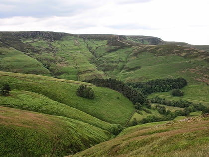
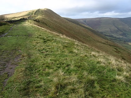
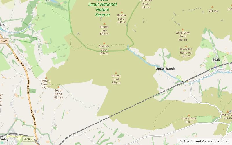
Brown Knoll is one of the highest hills in the Peak District in central England. It rises to a height of 569 metres above the head of the Edale valley and about 3 kilometres south-southwest of the Peak's highest point, Kinder Scout. ()
Elevation: 1867 ftProminence: 118 ftCoordinates: 53°21'47"N, 1°52'33"W
Address
Peak District
ContactAdd
Social media
Add
Day trips
Brown Knoll – popular in the area (distance from the attraction)
Nearby attractions include: Pennine Way, Blue John Cavern, Mam Tor, Kinder Scout.
Frequently Asked Questions (FAQ)
Which popular attractions are close to Brown Knoll?
Nearby attractions include Forest of High Peak, Peak District (19 min walk), Cowburn Tunnel, Peak District (22 min walk), Vale of Edale, Peak District (22 min walk).

