Vale of Edale, Peak District
Map

Gallery

Facts and practical information
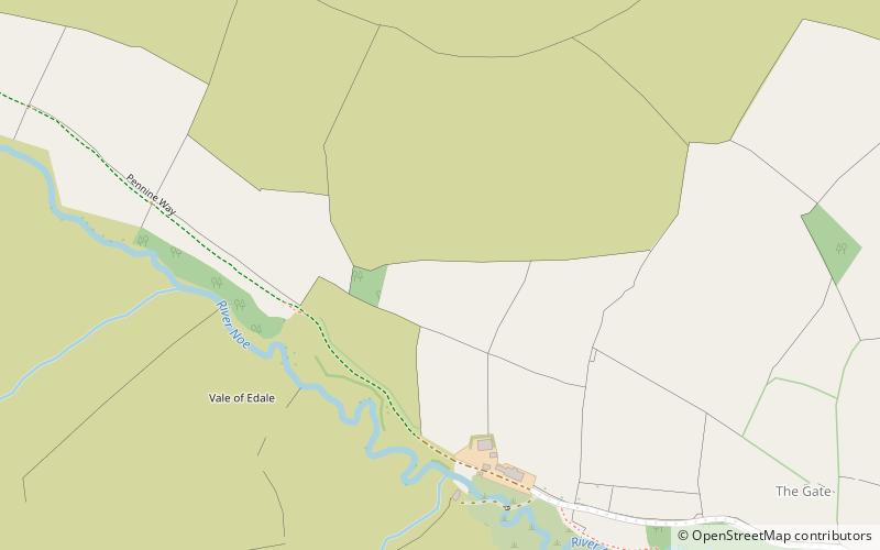
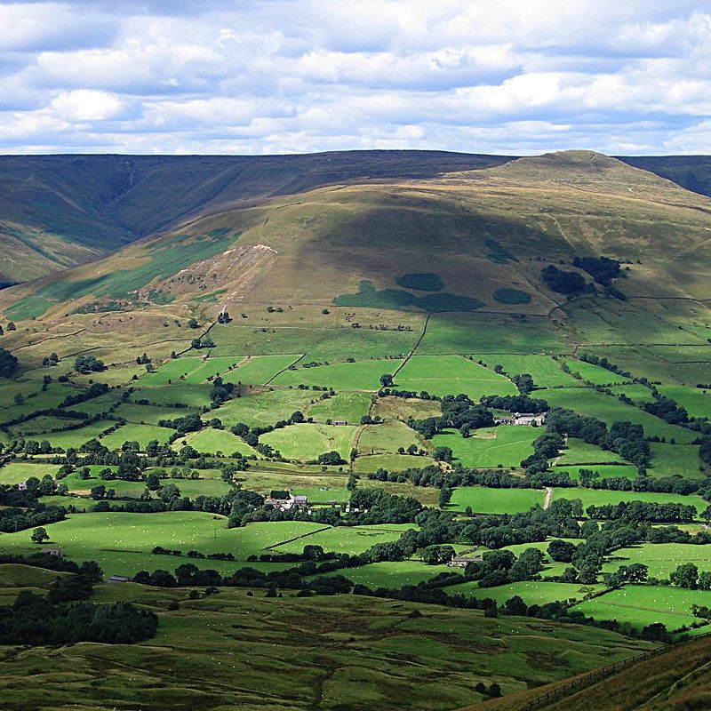
The Vale of Edale is the upper valley of the River Noe, in the Derbyshire Peak District of England. The village of Edale lies in the middle of the valley. ()
Coordinates: 53°22'8"N, 1°51'27"W
Address
Peak District
ContactAdd
Social media
Add
Day trips
Vale of Edale – popular in the area (distance from the attraction)
Nearby attractions include: Kinder Scout, Brown Knoll, Forest of High Peak, Grindslow Knoll.


