Kilburn, London
Map
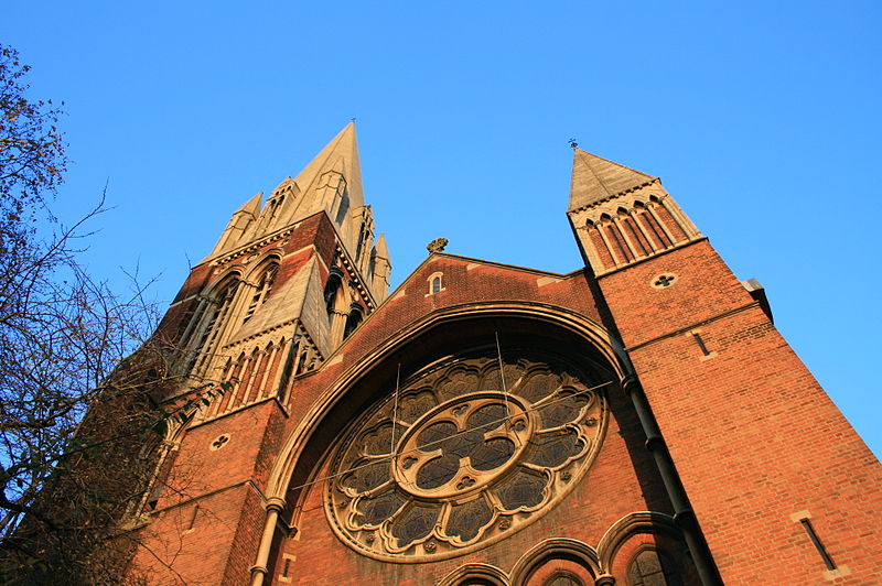
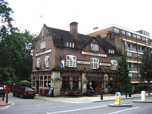
Gallery
Facts and practical information
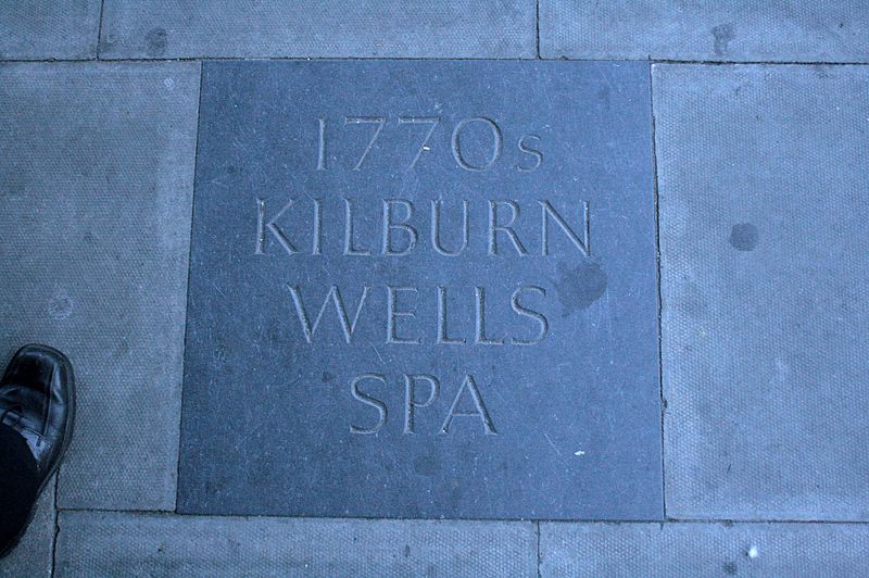
Kilburn is an area of north west London, England, which spans the boundary of two London Boroughs: Camden to the east and Brent to the west. There is also an area in the London Borough of Westminster, known as West Kilburn and sometimes treated as a distinct locality. Kilburn High Road railway station lies 3.5 miles north-west of Charing Cross. ()
Address
Brent (Queen's Park)London
ContactAdd
Social media
Add
Day trips
Kilburn – popular in the area (distance from the attraction)
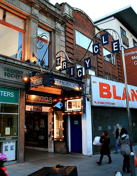
Nearby attractions include: O2 Centre, Kensal Green Cemetery, Freud Museum, Canal Cafe Theatre.
Frequently Asked Questions (FAQ)
Which popular attractions are close to Kilburn?
Nearby attractions include Paddington Old Cemetery, London (5 min walk), Gaumont State Cinema, London (11 min walk), Kiln Theatre, London (13 min walk), Islamic Centre of England, London (17 min walk).
How to get to Kilburn by public transport?
The nearest stations to Kilburn:
Bus
Metro
Train
Bus
- Queen's Park Station / Victoria Road • Lines: 206 (3 min walk)
- Woodville Road • Lines: 206 (5 min walk)
Metro
- Queen's Park • Lines: Bakerloo (5 min walk)
- Kilburn Park • Lines: Bakerloo (11 min walk)
Train
- Brondesbury Park (10 min walk)
- Kilburn High Road (14 min walk)



 Tube
Tube


