Sty Head, Lake District National Park
Map

Map

Facts and practical information
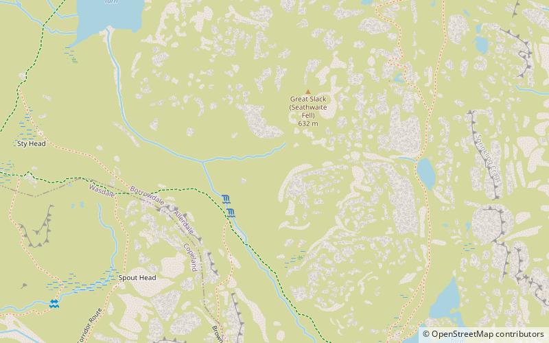
Sty Head is a mountain pass in the English Lake District, in the county of Cumbria. It is at an altitude of 1,600 feet and there is a small tarn near its summit. The pass is at the head of Wasdale, which contains the lake Wastwater and it passes between the mountains of Great Gable and Scafell Pike. ()
Coordinates: 54°28'30"N, 3°11'51"W
Address
Lake District National Park
ContactAdd
Social media
Add
Day trips
Sty Head – popular in the area (distance from the attraction)
Nearby attractions include: Great Gable, Green Gable, Lingmell, Styhead Tarn.
Frequently Asked Questions (FAQ)
Which popular attractions are close to Sty Head?
Nearby attractions include Styhead Tarn, Lake District National Park (8 min walk), Sprinkling Tarn, Lake District National Park (8 min walk), Seathwaite Fell, Lake District National Park (13 min walk), Great End, Lake District National Park (18 min walk).


