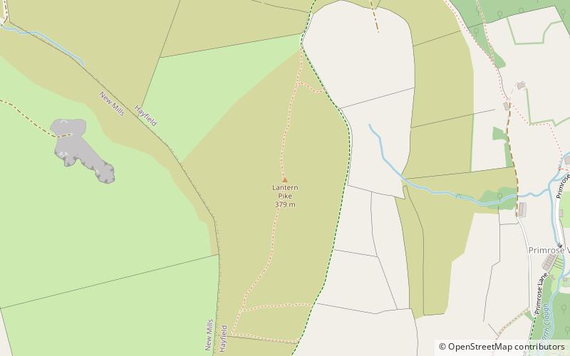
Lantern Pike, Peak District
Map

Map

Facts and practical information
Lantern Pike is a hill located just outside Hayfield, in Derbyshire, England. The land lies within the Peak District National Park and is owned and maintained by the National Trust. It is permanently open to the public. According to Ordnance Survey, it is 373 metres in height. ()
Elevation: 1224 ftProminence: 289 ftCoordinates: 53°23'25"N, 1°57'44"W
Address
Peak District
ContactAdd
Social media
Add
Day trips
Lantern Pike – popular in the area (distance from the attraction)
Nearby attractions include: Kinder Scout, Glossop Town Hall, Mill Hill, New Mills Library.
Frequently Asked Questions (FAQ)
How to get to Lantern Pike by public transport?
The nearest stations to Lantern Pike:
Bus
Bus
- Hayfield, New Mills Road / opposite Quarry • Lines: 358 (19 min walk)
- Birch Vale, New Mills Road /opposite Birch Hall Close • Lines: 358 (21 min walk)


