Forest of High Peak, Peak District
Map
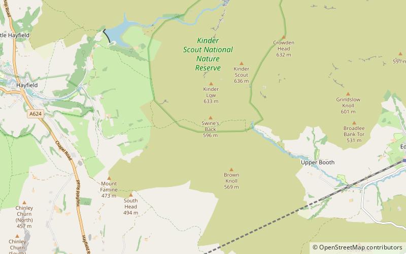
Map

Facts and practical information
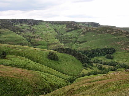
The Forest of High Peak was, in medieval times, a moorland forest covering most of the north west of Derbyshire, England, extending as far south as Tideswell and Buxton. From the time of the Norman Conquest it was established as a royal hunting reserve, administered by William Peverel, a follower of William I, who was based at Peveril Castle. The Royal Forest of Peak was bounded by the River Goyt to the west, the River Wye to the south, the River Derwent to the east and the River Etherow to the north. In 1305 it covered about 100 square miles. ()
Coordinates: 53°22'18"N, 1°53'7"W
Address
Peak District
ContactAdd
Social media
Add
Day trips
Forest of High Peak – popular in the area (distance from the attraction)
Nearby attractions include: Pennine Way, Blue John Cavern, Mam Tor, Kinder Scout.

