Blackton Reservoir
Map
![Blackton Reservoir location map](https://tzmedia.b-cdn.net/media/images/static-maps/gb/54_5615_-2_0924.jpg)
Map
![Blackton Reservoir location map](https://tzmedia.b-cdn.net/media/images/static-maps/gb/54_5615_-2_0924.jpg)
Facts and practical information
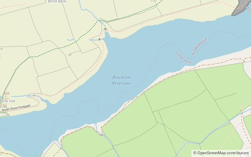
Blackton Reservoir is a reservoir in County Durham, England. It is situated in Baldersdale, about 4 miles west of Cotherstone, where the River Balder joins the River Tees. ()
Elevation: 909 ft a.s.l.Coordinates: 54°33'41"N, 2°5'33"W
Location
England
ContactAdd
Social media
Add
Day trips
Blackton Reservoir – popular in the area (distance from the attraction)
Nearby attractions include: Baldersdale, Hury Reservoir, Hannah's Meadows, Goldsborough Hill.