Baldersdale
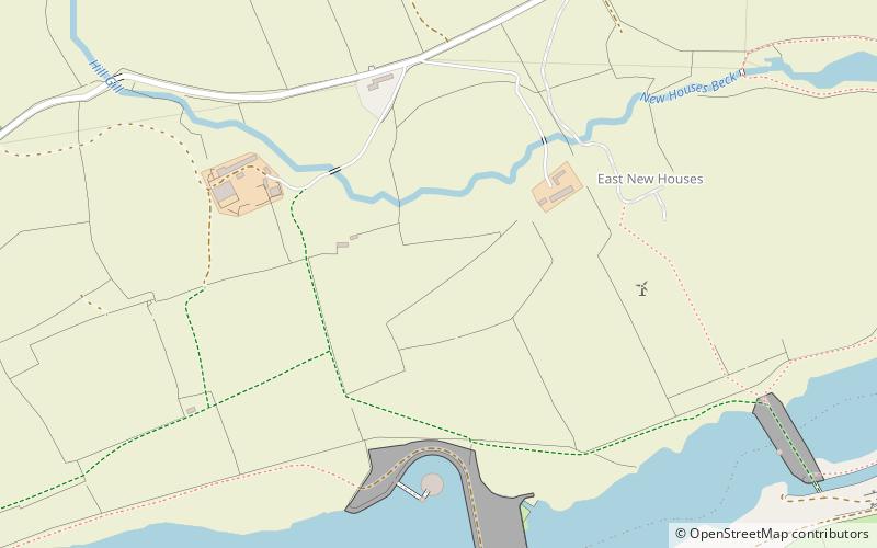
Map

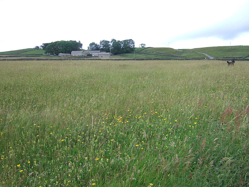
Gallery

Facts and practical information
Baldersdale is a dale, or valley, on the east side of the Pennines in England, northwest of Barnard Castle. Its principal settlements are Hury and Briscoe. Baldersdale lies within the traditional boundaries of the North Riding of Yorkshire. Under provisions of the Local Government Act 1972, it was incorporated into County Durham for administrative purposes on 1 April 1974, along with the rest of the former Startforth Rural District. ()
Coordinates: 54°34'0"N, 2°4'60"W
Day trips
Baldersdale – popular in the area (distance from the attraction)
Nearby attractions include: Hury Reservoir, Hannah's Meadows, Blackton Reservoir, Goldsborough Hill.


