Hannah's Meadows

Gallery (2)
Map
Map
Gallery
Facts and practical information
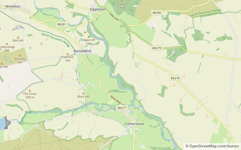
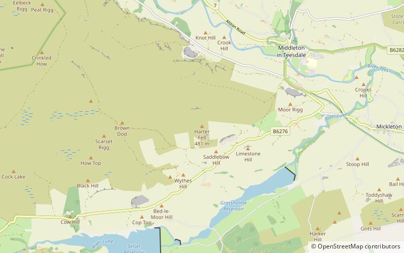
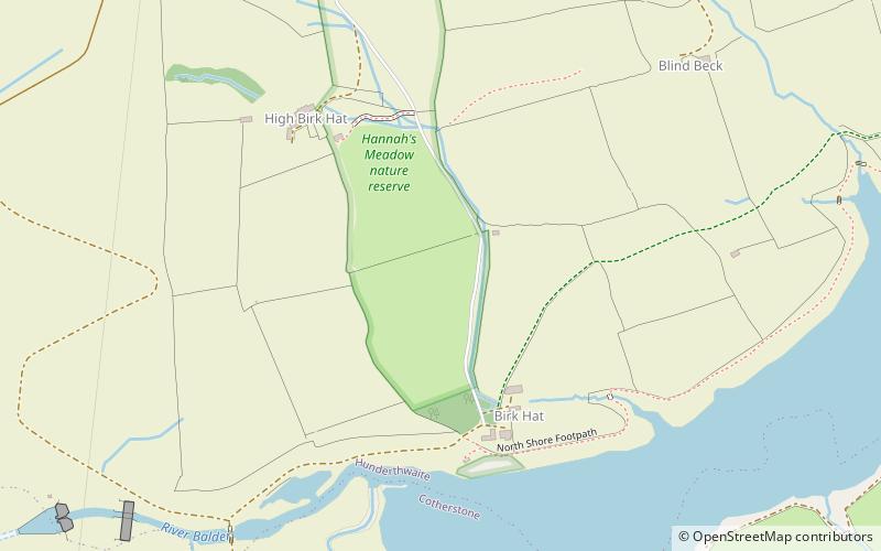
Hannah's Meadows is a Site of Special Scientific Interest in the Teesdale district of south-west County Durham, England. It consists of three fields, located at Low Birk Hatt Farm, on the north side of Blackton Reservoir, in Baldersdale, some 7 km west of the village of Cotherstone. The site is named after Hannah Hauxwell, whose farm it was for over 50 years. ()
Coordinates: 54°33'44"N, 2°6'7"W
Day trips