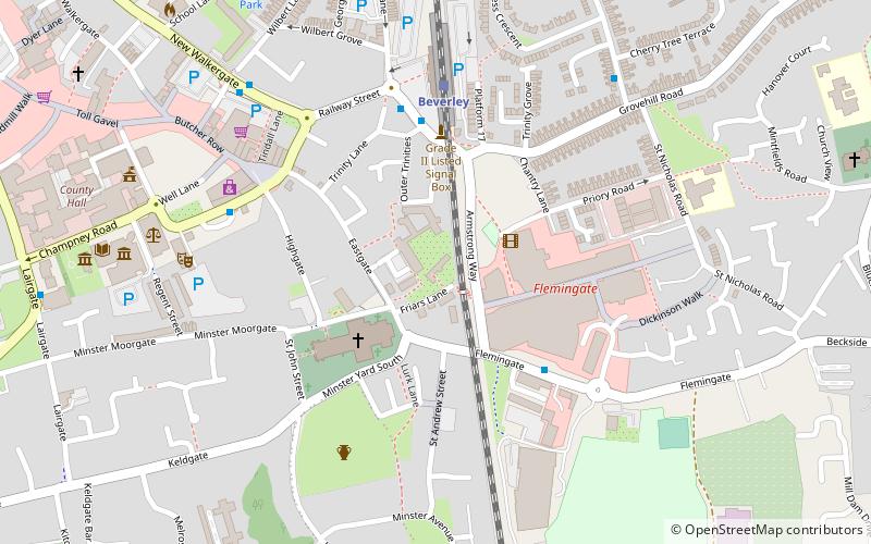
Beverley Friary, Beverley
Map

Map

Facts and practical information
Beverley Friary is a row of buildings in Beverley, East Riding of Yorkshire, England. The buildings are a Grade II* listed building that since 1984 have been used as a youth hostel. They are thought to be either part of an old Dominican friary, or to have been built on the site of the friary using stone from the site. ()
Coordinates: 53°50'24"N, 0°25'23"W
Address
Beverley
ContactAdd
Social media
Add
Day trips
Beverley Friary – popular in the area (distance from the attraction)
Nearby attractions include: Beverley Minster, Minster Way, Beverley Bar, Beverley Guildhall.
Frequently Asked Questions (FAQ)
Which popular attractions are close to Beverley Friary?
Nearby attractions include Beverley Minster, Beverley (3 min walk), Museum of Army Transport, Beverley (3 min walk), Treasure House, Beverley (7 min walk), Beverley Guildhall, Beverley (8 min walk).
How to get to Beverley Friary by public transport?
The nearest stations to Beverley Friary:
Train
Bus
Train
- Beverley (4 min walk)
Bus
- Beverley Bus Station • Lines: 123 (12 min walk)


