Beverley and Barmston Drain, Beverley


Facts and practical information
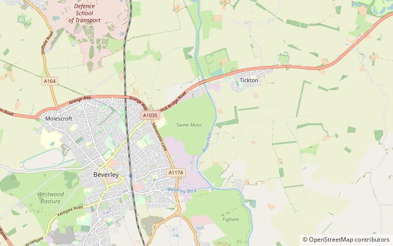
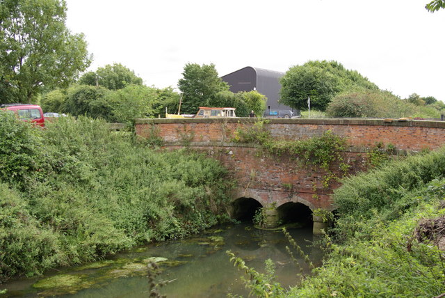
The Beverley and Barmston Drain is the main feature of a land drainage scheme authorised in 1798 to the west of the River Hull in the East Riding of Yorkshire, England. The area consisted of salt marshes to the south and carrs to the north, fed with water from the higher wolds which lay to the north, and from inundation by tidal water passing up the river from the Humber. Some attempts to reduce the flooding by building embankments had been made by the fourteenth century, and windpumps appeared in the seventeenth century. The Holderness Drainage scheme, which protected the area to the east of the river, was completed in 1772, and attention was then given to resolving flooding of the carrs. ()
Beverley
Beverley and Barmston Drain – popular in the area (distance from the attraction)
Nearby attractions include: Beverley Minster, Minster Way, Beverley Guildhall, Treasure House.
Frequently Asked Questions (FAQ)
How to get to Beverley and Barmston Drain by public transport?
Train
- Beverley (31 min walk)


