Minster Way, Beverley
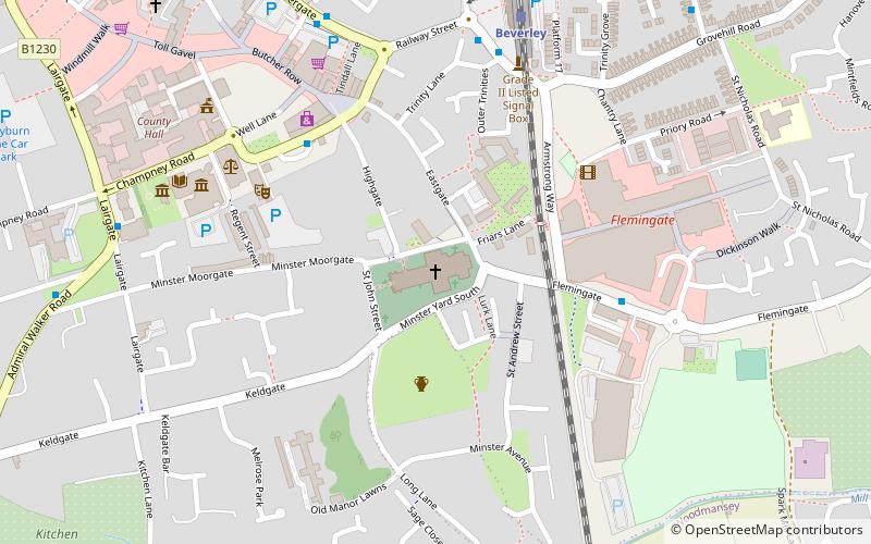
Map

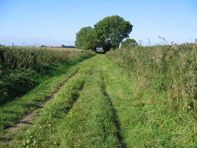
Gallery

Facts and practical information
The Minster Way is a 50-mile walking route between the Minsters of Beverley and York in England. It crosses the chalk hills of the Yorkshire Wolds, as well as a wide variety of the East Riding of Yorkshire countryside. Part of the route follows the Yorkshire Wolds Way National Trail across Sylvan Dale before diverting to Millington, Bishop Wilton and Stamford Bridge, where it follows the River Derwent into the Plain of York as far as the River Ouse. ()
Length: 50 miMaximum elevation: 627 ftMinimal elevation: 30 ftCoordinates: 53°50'21"N, 0°25'28"W
Address
Beverley
ContactAdd
Social media
Add
Day trips
Minster Way – popular in the area (distance from the attraction)
Nearby attractions include: Beverley Minster, Beverley Bar, Beverley Guildhall, Treasure House.
Frequently Asked Questions (FAQ)
Which popular attractions are close to Minster Way?
Nearby attractions include Beverley Minster, Beverley (1 min walk), Beverley Friary, Beverley (3 min walk), Museum of Army Transport, Beverley (4 min walk), Treasure House, Beverley (6 min walk).
How to get to Minster Way by public transport?
The nearest stations to Minster Way:
Train
Bus
Train
- Beverley (6 min walk)
Bus
- Beverley Bus Station • Lines: 123 (12 min walk)


