Hampton Baptist Church, London
Map
Facts and practical information
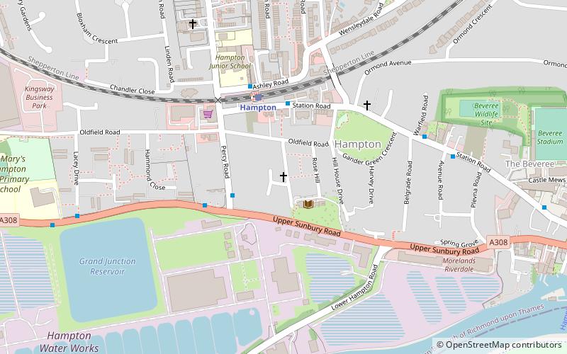
Hampton Baptist Church is a church that meets at Bethany Chapel, Beards Hill, Hampton in the London Borough of Richmond upon Thames. It is a member of the London Baptist Association. ()
Elevation: 62 ft a.s.l.Coordinates: 51°24'52"N, 0°22'17"W
Getting there by public transportation
Public transportation stops near this location
- Bus
- Train
 Bus
Bus
- Calculate routeOldfield Road 2 min walk
- Calculate routeHampton Station 3 min walk
- Calculate routePercy Road 3 min walk
- Calculate routeHampton 3 min walk
Maps Tube
Tube
TubeDay trips


Frequently Asked Questions (FAQ)
Which popular attractions are close to Hampton Baptist Church?
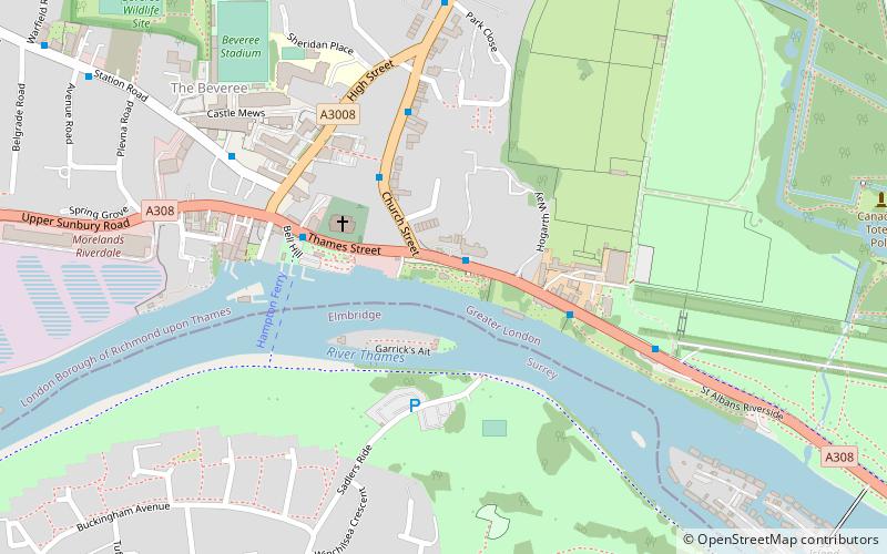
Nearby attractions include St Theodore's Roman Catholic Church, London (4 min walk), Hampton Methodist Church, Molesey (6 min walk), Platt's Eyot, London (9 min walk), Hampton Cemetery, London (13 min walk).
How to get to Hampton Baptist Church by public transport?
The nearest stations to Hampton Baptist Church:
Bus
Train
Bus
- Oldfield Road • Lines: 216 (2 min walk)
- Hampton Station • Lines: 111, 216 (3 min walk)
Train
- Hampton (3 min walk)