Deborah's Hole Camp, Rhossili
#2 among attractions in Rhossili

Facts and practical information
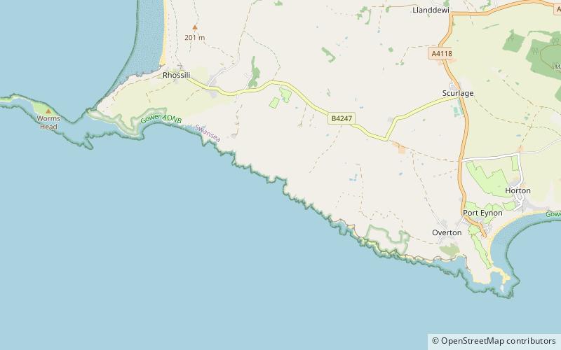
Deborah's Hole Camp is an Iron Age hillfort situated atop the cliff above Deborah's Hole cave in the unitary authority of Swansea, Wales. It is crossed by the Wales Coast Path. ()
Penrhyn Gŵyr (Gŵyr)Rhossili United Kingdom
Deborah's Hole Camp – popular in the area (distance from the attraction)
Nearby attractions include: Oxwich Castle, Weobley Castle, Church of St Illtyd, Red Lady of Paviland.
 Forts and castles, Historical place, Gothic Revival architecture
Oxwich Castle, Swansea
102 min walk • Oxwich Castle is a Grade I listed castle which occupies a position on a wooded headland overlooking Oxwich Bay on the Gower Peninsula, Wales.
 Forts and castles
Weobley Castle, Swansea
124 min walk • Weobley Castle is a 14th-century fortified manor house on the Gower Peninsula, Wales, in the care of Cadw. The castle overlooks Llanrhidian saltmarshes and the Loughor estuary.
 Church
Church of St Illtyd, Swansea
112 min walk • The Church of St Illtyd is Grade II* Listed Building in the city and county of Swansea in south Wales. It is 1 km from Oxwich village, on a site overlooking Oxwich Bay and reached by the Wales Coast Path. It has a square churchyard with a stone wall and a modern gate.
 Prehistoric site
Red Lady of Paviland, Rhossili
9 min walk • The Red Lady of Paviland is an Upper Paleolithic partial skeleton of a male dyed in red ochre and buried in Britain 33,000 BP. The bones were discovered in 1823 by William Buckland in an archaeological dig at Goat's Hole Cave — one of the limestone caves between Port Eynon and Rhossili on the Gower Peninsula, Swansea, south Wales.
 Nature, Cave, Natural attraction
Long Hole Cave, Rhossili
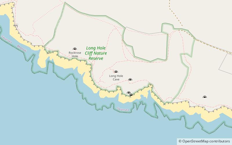
34 min walk • Long Hole, also spelled Longhole, is a limestone cave on the south coast of the Gower Peninsula between Paviland and Port Eynon. It is relatively small, measuring about 15 m deep after several excavations. It was first excavated in 1861 by Colonel E. R. Wood. Wood found evidence of a lithic assemblage and faunal remains.
 Area
AreaWorm's Head, Gower Peninsula
68 min walk • Worm's Head is a headland, at Rhossili, part of the City and County of Swansea, Wales. It is the furthest westerly point of the Gower Peninsula. The name Worm's Head is derived from an Old English word 'wyrm' for 'sea serpent'.
 Forts and castles, Romanesque architecture
Penrice Castle, Swansea
106 min walk • Penrice Castle is a 13th-century castle near Penrice, Swansea on the Gower Peninsula, Wales. Nearby is a neo-classical mansion house built in the 1770s.
 Memorial
Cefn Bryn, Swansea
121 min walk • Cefn Bryn is an ancient ridge in Britain. It is a 5-mile-long Old Red Sandstone ridge in south Wales, in the heart of the Gower Peninsula, in the City and County of Swansea.

 Village
Port Eynon
57 min walk • Port Eynon is a village and community within the City and County of Swansea, Wales, located on the far south tip of the Gower Peninsula within the designated Area of Outstanding Natural Beauty. The A4118 from Swansea city centre terminates here.
 Beach
BeachSlade Bay
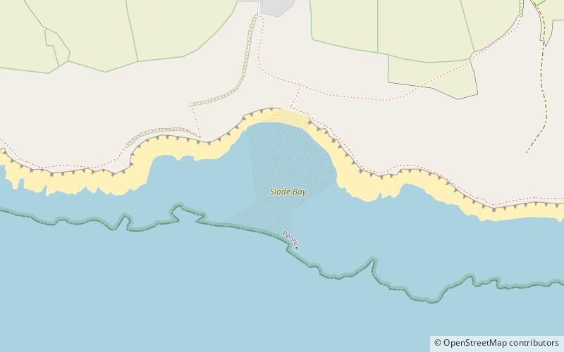
86 min walk • Slade Bay - marked on Ordnance Survey maps as "The Sands" - is a sandy beach near the village of Slade, south Wales. It is set in a relatively inaccessible location - being reachable only on foot and climbing over some large rocks.