Trek Zone

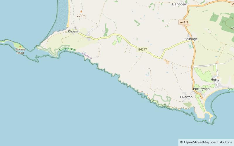
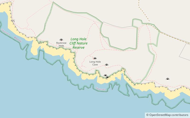
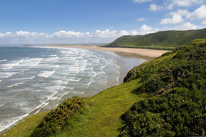
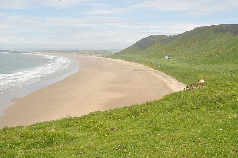
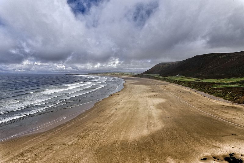
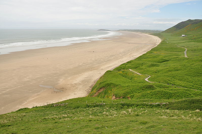
Rhossili Bay, Rhossili

#4 among attractions in Rhossili

Beach
Rhossili Bay

Facts and practical information

Rhossili Bay is a place located in Rhossili (Wales principality) and belongs to the category of beach.

It is situated at an altitude of 7 feet, and its geographical coordinates are 51°35'15"N latitude and 4°17'29"W longitude.

Among other places and attractions worth visiting in the area are: Wreck of the Helvetia (shipwreck, 25 min walk), Burry Holms (island, 45 min walk), Llanmadoc Hill (nature, 46 min walk).

Coordinates: 51°35'15"N, 4°17'29"W
Address

Rhossili United Kingdom

ContactAdd
Social media
Add

Rhossili plan & book

Unleash the traveler in you — discover the cheapest flight deals, find the perfect hotel or hostel nearby, and search for the best car rental prices. Travel at your own pace to discover new places and enjoy your journey.

Related articles

Golden sands and azure waters may not be associated with the UK beach landscape, but there are plenty of beaches hidden in the caves that dot the British coast, set against dramatic backdrops of wild cliffs and mountains. To discover new landscapes, do water sports, explore trails and nature reserves, check out our list, and get inspired.

See article
the best sandy beaches in the united kingdom
Day trips

Rhossili Bay – popular in the area (distance from the attraction)

Nearby attractions include: Oxwich Castle, Weobley Castle, Whiteford Lighthouse, Red Lady of Paviland.

  • oxwich castle swansea5.7 miE
  • weobley castle swansea4.3 miNE
  • whiteford lighthouse gower peninsula4.8 miN
  • red lady of paviland rhossili3 miSE
  • deborahs hole camp rhossili location map
    2.7 miSE
  • long hole cave rhossili location map
    3.9 miSE
  • worms head gower peninsula2 miSW
  • penrice castle swansea5.3 miE
  • cefn bryn swansea5.3 miE
  • port eynon4.5 miSE
  • cors dyfi nature reserve7.6 miNE

Where to next? Visit wales Wales region page or discover the top tourist attractions in United Kingdom.