Stretford, Sale
Map
Gallery

Facts and practical information
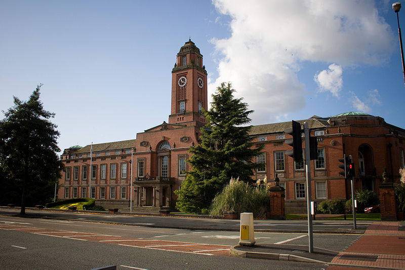
Stretford is a market town in Trafford, Greater Manchester, England, on flat ground between the River Mersey and the Manchester Ship Canal, 3.8 miles south of Manchester city centre, 3.0 miles south of Salford and 4.2 miles northeast of Altrincham. Stretford borders Chorlton-cum-Hardy to the east, Moss Side and Whalley Range to the southeast, Hulme to the northeast, Urmston to the west, Salford to the north, and Sale to the south. The Bridgewater Canal bisects the town. ()
Address
Trafford (Stretford)Sale
ContactAdd
Social media
Add
Day trips
Stretford – popular in the area (distance from the attraction)
Nearby attractions include: Old Trafford, Old Trafford Cricket Ground, Sale Water Park, St Clement's.
Frequently Asked Questions (FAQ)
Which popular attractions are close to Stretford?
Nearby attractions include Longford Cinema, Sale (5 min walk), St Ann's, Sale (8 min walk), Humphrey Park Community Centre, Sale (23 min walk).
How to get to Stretford by public transport?
The nearest stations to Stretford:
Bus
Tram
Train
Bus
- Stretford, Kingsway / Stretford Arndale • Lines: 15, 23, 245, 25, 79 (2 min walk)
- Kingsway/Stretford Arndale • Lines: 15 (2 min walk)
Tram
- Stretford • Lines: Altr, Bury, Picc (7 min walk)
- Dane Road • Lines: Altr, Bury, Picc (30 min walk)
Train
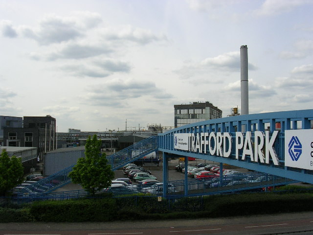
- Trafford Park (15 min walk)
- Humphrey Park (21 min walk)


