Chorlton Poor Law Union, Manchester
Map

Gallery

Facts and practical information
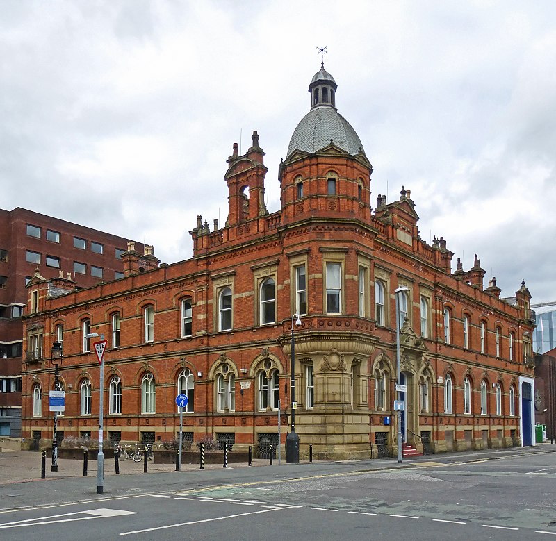
Chorlton Poor Law Union was founded in January 1837 in response to the Poor Law Amendment Act 1834, also known as the New Poor Law. It was overseen by an elected board of 19 guardians representing the 12 parishes in the area it served: Ardwick, Burnage, Chorlton-upon-Medlock, Chorlton with Hardy, Didsbury, Gorton, Hulme, Levenshulme, Mosside, Rusholme, Stretford, and Withington, all in present day south Manchester, England. ()
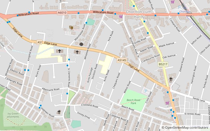
Coordinates: 53°26'24"N, 2°16'48"W
Address
ChorltonManchester
ContactAdd
Social media
Add
Day trips
Chorlton Poor Law Union – popular in the area (distance from the attraction)
Nearby attractions include: Old Trafford Cricket Ground, Chorlton-cum-Hardy Golf Club, Southern Cemetery, Sale Water Park.
Frequently Asked Questions (FAQ)
Which popular attractions are close to Chorlton Poor Law Union?
Nearby attractions include St Clement's, Manchester (5 min walk), Chorlton-cum-Hardy, Manchester (6 min walk), Firswood, Manchester (23 min walk), British Muslim Heritage Centre, Manchester (23 min walk).
How to get to Chorlton Poor Law Union by public transport?
The nearest stations to Chorlton Poor Law Union:
Bus
Tram
Bus
- Chorlton, Wilbraham Road / Brundretts Road • Lines: 23, 25 (5 min walk)
Tram
- Chorlton • Lines: Airp, Dean, EDid, Roch, Shaw, Vict (9 min walk)
- St Werburgh's Road • Lines: Airp, Dean, EDid, Roch, Shaw, Vict (16 min walk)

 Metrolink
 Metrolink / Rail


