Hampstead Garden Suburb, London

Gallery (1)
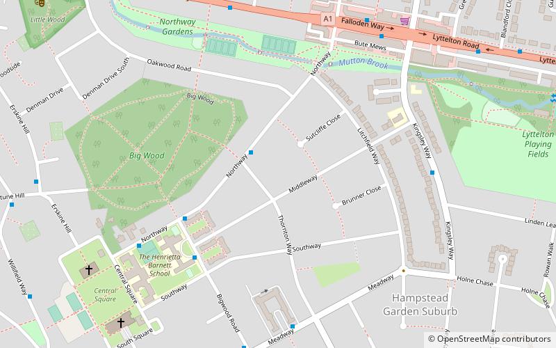
Map
Map
Facts and practical information
Hampstead Garden Suburb is an elevated suburb of London, north of Hampstead, west of Highgate and east of Golders Green. It is known for its intellectual, liberal, artistic, musical and literary associations. It is an example of early twentieth-century domestic architecture and town planning in the London Borough of Barnet, northwest London. ()
Coordinates: 51°34'59"N, 0°11'6"W
Address
Barnet (Garden Suburb)London
ContactAdd
Social media
Add
Getting there by public transportation
Public transportation stops near this location
- Metro
- Bus
 Metro
Metro
- Calculate routeHail & Ride Thornton Way 2 min walk
- Calculate routeHenrietta Barnett School 4 min walk
- Calculate routeGolders Green 22 min walk
- Calculate routeEast Finchley 24 min walk
Maps Tube
Tube
TubeDay trips


Frequently Asked Questions (FAQ)
Which popular attractions are close to Hampstead Garden Suburb?
Nearby attractions include Big Wood, London (5 min walk), Free Church, London (8 min walk), Lyttelton Playing Fields, London (9 min walk), Golders Green Jewish Cemetery, London (14 min walk).
How to get to Hampstead Garden Suburb by public transport?
The nearest stations to Hampstead Garden Suburb:
Bus
Metro
Bus
- Hail & Ride Thornton Way • Lines: H2 (2 min walk)
- Henrietta Barnett School • Lines: 631 (4 min walk)
Metro
- Golders Green • Lines: Northern (22 min walk)
- East Finchley • Lines: Northern (24 min walk)