Wast Hills Tunnel, Birmingham
Map

Map

Facts and practical information
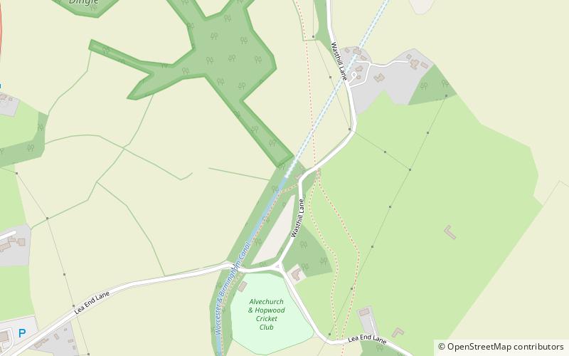
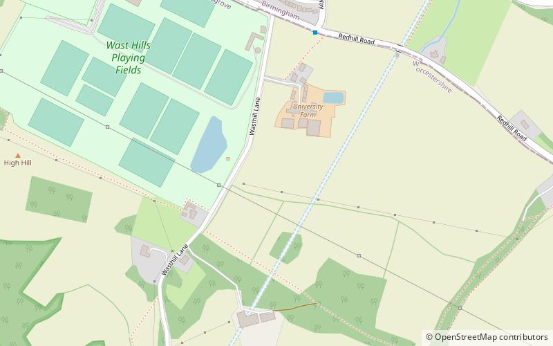
The Wast Hills Tunnel is a canal tunnel on the Worcester and Birmingham Canal. Its northern portal is in Hawkesley, Birmingham. Its southern portal is in fields just outside the city's boundaries, in Worcestershire. ()
Length: 8178 ftCoordinates: 52°22'51"N, 1°56'56"W
Address
Birmingham
ContactAdd
Social media
Add
Day trips
Wast Hills Tunnel – popular in the area (distance from the attraction)
Nearby attractions include: Golfbug - Wast Hills, St John the Baptist's Church, Bittell Reservoirs, Wast Hills Observatory.
Frequently Asked Questions (FAQ)
How to get to Wast Hills Tunnel by public transport?
The nearest stations to Wast Hills Tunnel:
Bus
Bus
- Telephone Box • Lines: 182, 183 (19 min walk)
- Ash Lane • Lines: 182, 183 (20 min walk)


