West Heath, Birmingham
Map
Gallery
Facts and practical information
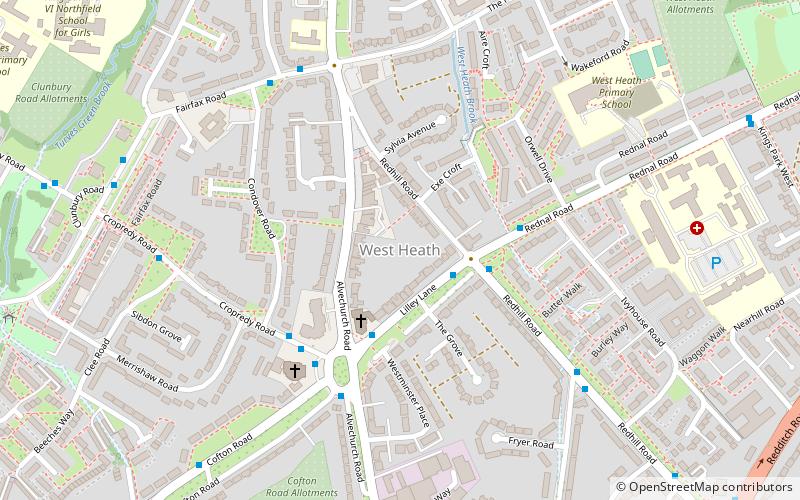
West Heath is a residential area of Birmingham, England on the boundary with Worcestershire. Forming the larger part of the ward of Longbridge And West Heath it is situated between Kings Norton, Northfield, Longbridge and Cofton Hackett and lies on traditional heathland formed in the 13th century as part of the Kings Norton manorial lands, and was historically in Worcestershire. ()
Coordinates: 52°23'52"N, 1°57'37"W
Address
NorthfieldBirmingham
ContactAdd
Social media
Add
Day trips
West Heath – popular in the area (distance from the attraction)
Nearby attractions include: Golfbug - Wast Hills, St Laurence's Church, Bournville College, St John the Baptist's Church.
Frequently Asked Questions (FAQ)
Which popular attractions are close to West Heath?
Nearby attractions include Austin Village, Birmingham (15 min walk), St John the Baptist's Church, Birmingham (17 min walk).
How to get to West Heath by public transport?
The nearest stations to West Heath:
Bus
Train
Bus
- Fairfax Rd / Edgehill Rd • Lines: 19 (5 min walk)
- Culmington Rd / Turves Green • Lines: 19 (17 min walk)
Train
- Northfield (20 min walk)
- Longbridge (23 min walk)


