Trentabank Reservoir
Map

Map

Facts and practical information
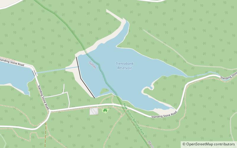
Trentabank Reservoir is within Macclesfield Forest, partly in the Peak District National Park, in England, and is home to rich unimproved uplands and grasslands. The reservoir is surrounded mainly by coniferous plantations and is also home to about 22 pairs of herons. The Peak District Boundary Walk runs past the reservoir. ()
Elevation: 863 ft a.s.l.Coordinates: 53°14'20"N, 2°3'27"W
Location
England
ContactAdd
Social media
Add
Day trips
Trentabank Reservoir – popular in the area (distance from the attraction)
Nearby attractions include: Tegg's Nose, Shutlingsloe, Forest Chapel, Macclesfield Forest.


