South Harrow, London
Map
Facts and practical information
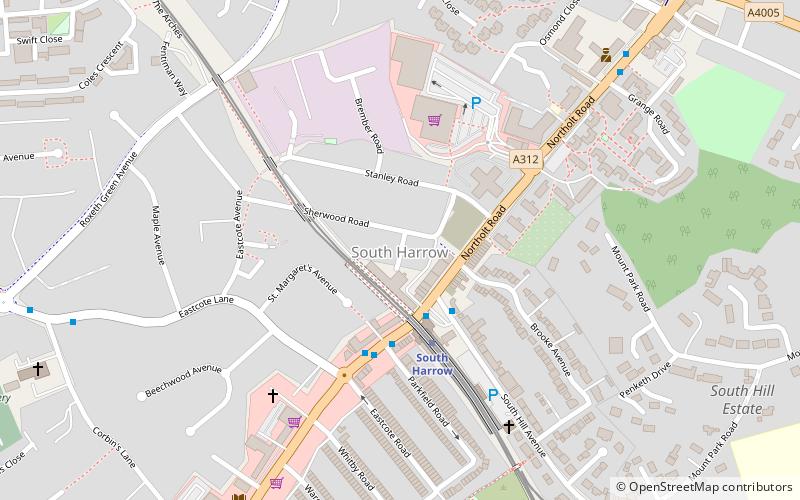
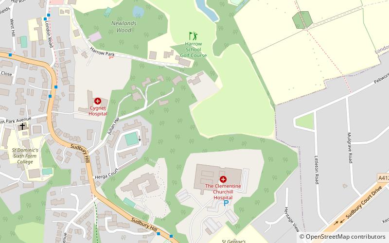
South Harrow is the southern part of the town of Harrow, located south-west of Harrow-on-the-Hill in the London Borough of Harrow. Its development originally spread south and west from the hamlet of Roxeth in the urbanisation process and easier access from Central London by rail. Six roads now converge at Roxeth hamlet centre at the bottom of Roxeth Hill. Its areas include, in the west, the area of Shaftesbury Circus/Avenue and in the south a shopping area, South Harrow tube station and the high street, Northolt Road. ()
Coordinates: 51°33'57"N, 0°21'11"W
Address
Harrow (Roxbourne)London
ContactAdd
Social media
Add
Getting there by public transportation
Public transportation stops near this location
- Metro
- Bus
- Train
 Metro
Metro
- Calculate routeSouth Harrow Bus Station 2 min walk
- Calculate routeSouth Harrow Station 3 min walk
- Calculate routeGrange Road 7 min walk
- Calculate routeNortholt Park 17 min walk
- Calculate routeSudbury Hill Harrow 23 min walk
- Calculate routeSudbury Hill 24 min walk
- Calculate routeWest Harrow 25 min walk
- Calculate routeRayners Lane 26 min walk
- Calculate routeHarrow-on-the-Hill 30 min walk
Maps Tube
Tube
TubeDay trips


Frequently Asked Questions (FAQ)
Which popular attractions are close to South Harrow?
Nearby attractions include Roxeth, Uxbridge (9 min walk), Harrow on the Hill, London (23 min walk), St Mary's Church, London (23 min walk), Our Lady and St Thomas of Canterbury, London (24 min walk).
How to get to South Harrow by public transport?
The nearest stations to South Harrow:
Bus
Train
Metro
Bus
- South Harrow Bus Station • Lines: 258, 487, 640, H12 (2 min walk)
- South Harrow Station • Lines: 114, 140, 395, 398, 487, 640, H10, H12, H9, N140, X140 (3 min walk)
Train
- Northolt Park (17 min walk)
- Sudbury Hill Harrow (23 min walk)
Metro
- Sudbury Hill • Lines: Piccadilly (24 min walk)
- West Harrow • Lines: Metropolitan (25 min walk)