Gorgie-Dalry, Edinburgh
Map
Gallery
Facts and practical information
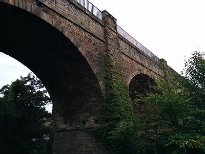
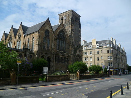
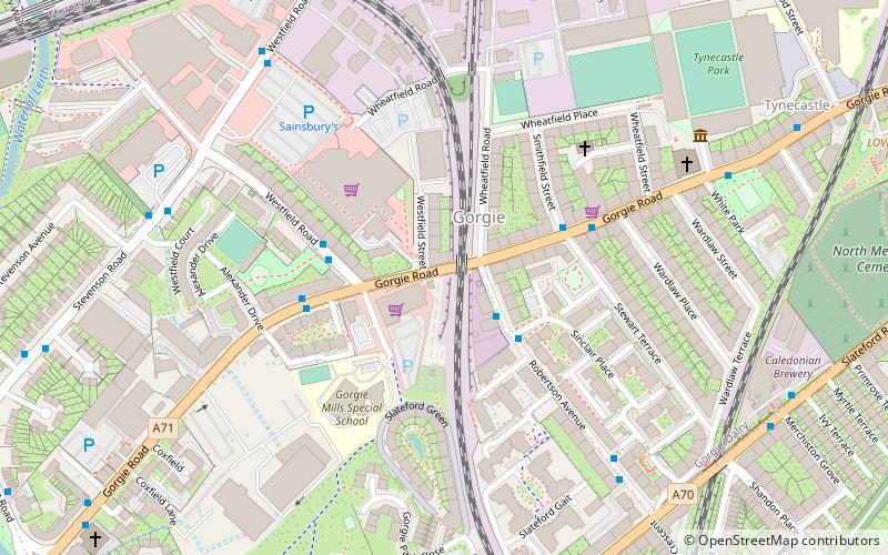
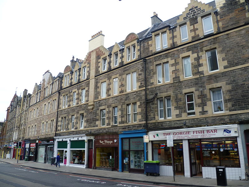
Gorgie-Dalry is the name given to the joint community council, consisting of Gorgie and Dalry in the west of Edinburgh, the Scottish capital. The area also incorporates Tynecastle and parts of Ardmillan. ()
Coordinates: 55°56'12"N, 3°14'15"W
Address
GorgieEdinburgh
ContactAdd
Social media
Add
Day trips
Gorgie-Dalry – popular in the area (distance from the attraction)
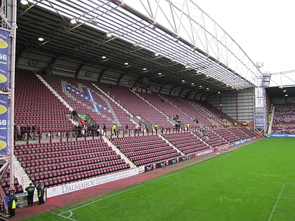
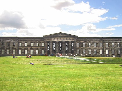
Nearby attractions include: Murrayfield Stadium, Tynecastle Park, Murrayfield Ice Rink, Scottish National Gallery of Modern Art.
Frequently Asked Questions (FAQ)
Which popular attractions are close to Gorgie-Dalry?
Nearby attractions include Tynecastle Park, Edinburgh (7 min walk), Caledonian Brewery, Edinburgh (7 min walk), LOVE Gorgie Farm, Edinburgh (9 min walk), Little Free Library - Shandon, Edinburgh (10 min walk).
How to get to Gorgie-Dalry by public transport?
The nearest stations to Gorgie-Dalry:
Bus
Tram
Train
Bus
- Westfield Road • Lines: 1 (3 min walk)
- Stewart Terrace • Lines: 1, 3 (3 min walk)
Tram
- Murrayfield Stadium • Lines: Edinburgh Trams Eastbound, Edinburgh Trams Westbound (10 min walk)
- Balgreen • Lines: Edinburgh Trams Eastbound, Edinburgh Trams Westbound (15 min walk)
Train
- Slateford (19 min walk)
- Haymarket (24 min walk)


