Streatham High Road, London
Map
Gallery
Facts and practical information
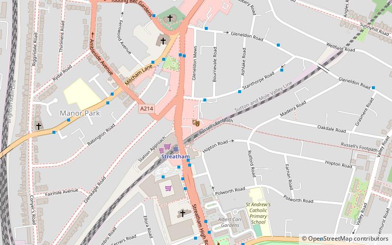
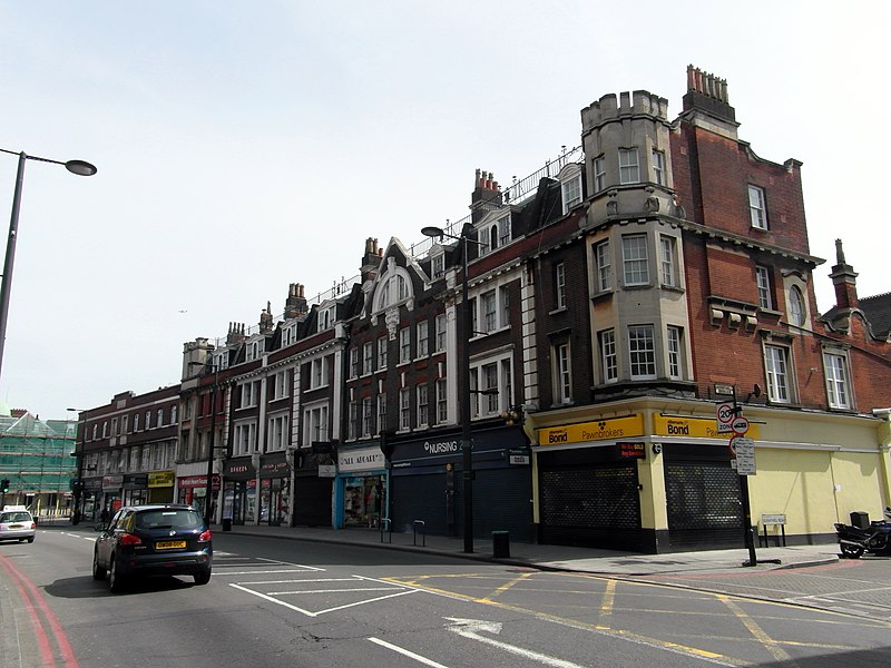
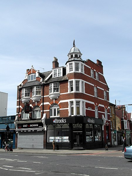
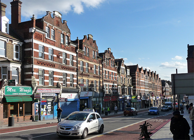
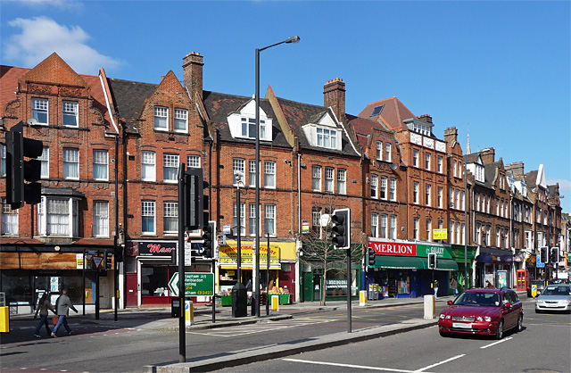
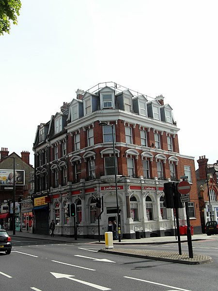
Streatham High Road, some 1.8 miles in length, is part of the main A23 road from London to Brighton, and is in the London Borough of Lambeth. It begins in the north at Streatham Hill railway station, being an end-on junction with Streatham Hill and continues south to Norbury where the A23 becomes London Road. Because Streatham existed in Saxon times, it is likely the road existed as early as 1068, when it is mentioned in literature. ()
Coordinates: 51°26'3"N, 0°7'40"W
Address
Lambeth (Streatham Wells)London
ContactAdd
Social media
Add
Day trips
Streatham High Road – popular in the area (distance from the attraction)
Nearby attractions include: Tooting Bec Lido, Brockwell Park, Streatham Common, Norwood Grove.
Frequently Asked Questions (FAQ)
Which popular attractions are close to Streatham High Road?
Nearby attractions include Tooting Bec Lido, London (13 min walk), Hideaway, London (14 min walk), Tooting Commons, London (18 min walk), Streatham War Memorial, London (20 min walk).
How to get to Streatham High Road by public transport?
The nearest stations to Streatham High Road:
Bus
Train
Metro
Bus
- Kingscourt Road • Lines: 109, 118, 133, 159, 201, 250, 255, 319, 333, 50, 57, N109, N133, N250, P13 (1 min walk)
- Mount Ephraim Road • Lines: 109, 118, 133, 159, 201, 250, 255, 319, 333, 50, 57, N109, N133, N250, P13 (3 min walk)
Train
- Streatham Hill (7 min walk)
- Streatham (16 min walk)
Metro
- Balham • Lines: Northern (32 min walk)



 Tube
Tube


