Streatham Common, London
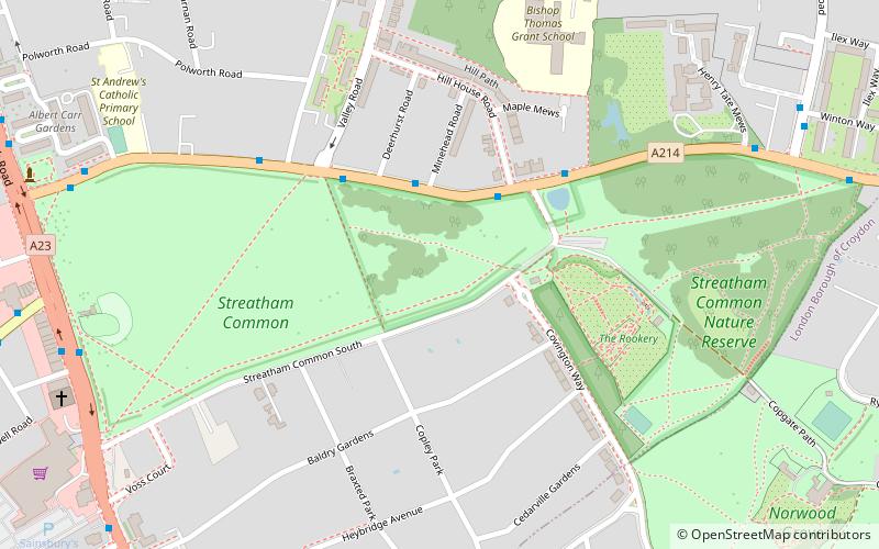
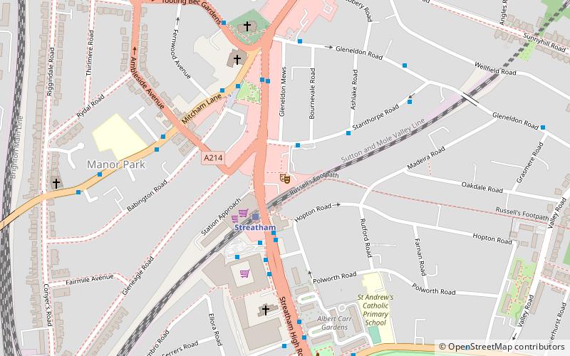
Map

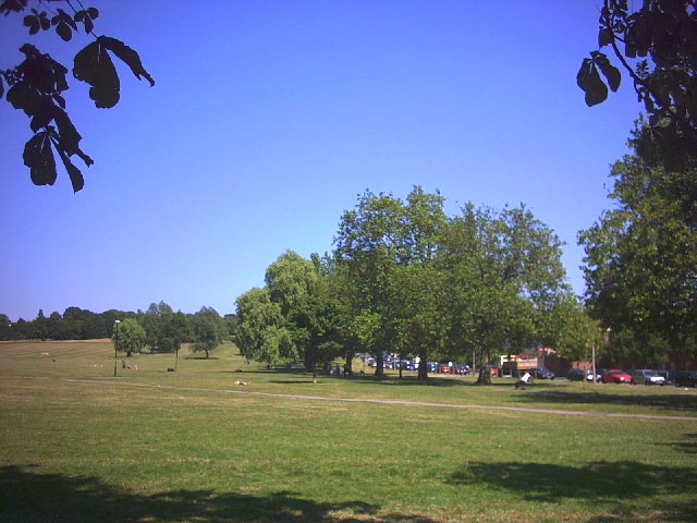
Gallery

Facts and practical information
Streatham Common is a large open space on the southern edge of Streatham in the London Borough of Lambeth. The shallow sloping lower half of the common is mostly mowed grass, and the upper half is mostly woodland with some small areas of gorse scrub and acid grassland. The eastern half has been designated a Local Nature Reserve. ()
Elevation: 223 ft a.s.l.Coordinates: 51°25'20"N, 0°7'17"W
Address
Streatham High RoadLambeth (Streatham South)London
ContactAdd
Social media
Add
Day trips
Streatham Common – popular in the area (distance from the attraction)
Nearby attractions include: Streatham High Road, Tooting Bec Lido, West Norwood Cemetery, Norwood Grove.
Frequently Asked Questions (FAQ)
Which popular attractions are close to Streatham Common?
Nearby attractions include Streatham War Memorial, London (10 min walk), Norwood Grove, London (10 min walk), Hideaway, London (13 min walk).
How to get to Streatham Common by public transport?
The nearest stations to Streatham Common:
Bus
Train
Bus
- Deerhurst Road • Lines: 249 (3 min walk)
- The Rookery • Lines: 249 (3 min walk)
Train
- Streatham (13 min walk)
- Streatham Common (18 min walk)

 Tube
Tube


