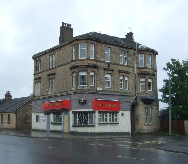
Sandyhills, Glasgow

Gallery (4)
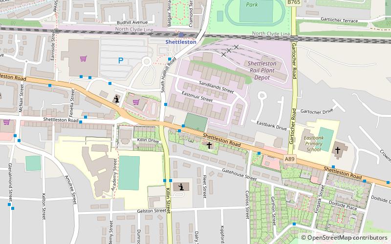
Map

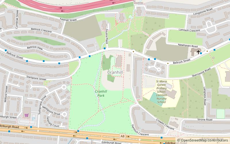
Map
Gallery
Facts and practical information
Sandyhills is an area of the Scottish city of Glasgow. It is situated north of the River Clyde and has fallen within the Shettleston ward of Glasgow City Council since 2007. ()
Coordinates: 55°50'58"N, 4°8'48"W
Address
SandyhillsGlasgow
ContactAdd
Social media
Add
Getting there by public transportation
Public transportation stops near this location
- Bus
- Train
 Bus
Bus
- Calculate routeBaillieston Road / Glen Ogle Street 2 min walk
- Calculate routeShettleston, Shettleston Road/ Crownhall Road 6 min walk
- Calculate routeShettleston 15 min walk
- Calculate routeGarrowhill 20 min walk
- Calculate routeMount Vernon 22 min walk
- Calculate routeCarmyle 30 min walk
Day trips


Frequently Asked Questions (FAQ)
Which popular attractions are close to Sandyhills?
Nearby attractions include St Serf's Church, Glasgow (13 min walk), Shettleston New Church, Glasgow (17 min walk), Springboig, Glasgow (17 min walk), Barlanark, Glasgow (17 min walk).
How to get to Sandyhills by public transport?
The nearest stations to Sandyhills:
Bus
Train
Bus
- Baillieston Road / Glen Ogle Street • Lines: 2 (2 min walk)
- Shettleston, Shettleston Road/ Crownhall Road • Lines: 2 (6 min walk)
Train
- Shettleston (15 min walk)
- Garrowhill (20 min walk)