Urmston, Manchester
Map
Gallery
Facts and practical information
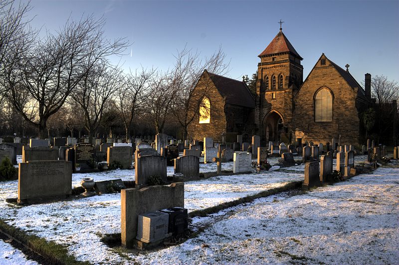
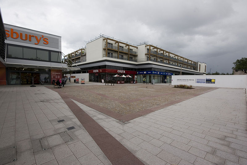
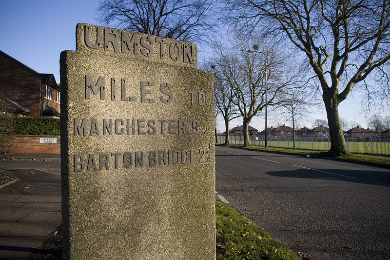
Urmston is a town in Trafford, Greater Manchester, England, which had a population of 41,825 at the 2011 Census. Historically in Lancashire, it is 5 miles southwest of Manchester city centre. The southern boundary is the River Mersey, with Stretford lying to the east and Flixton to the west. Davyhulme lies to the north of the town centre. Urmston covers an area of 4,799 acres. ()
Day trips
Urmston – popular in the area (distance from the attraction)
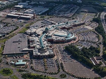
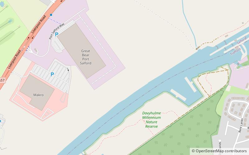
Nearby attractions include: intu Trafford Centre, Davyhulme Sewage Works, Port Salford, Davyhulme.
Frequently Asked Questions (FAQ)
How to get to Urmston by public transport?
The nearest stations to Urmston:
Bus
Train
Bus
- Bowfell Road/Urmston Leisure Centre • Lines: 276, 277 (3 min walk)
- Flixton Road/Trevor Road • Lines: 255, 276 (3 min walk)
Train
- Chassen Road (9 min walk)
- Flixton (14 min walk)



 Metrolink
 Metrolink / Rail