Davyhulme, Manchester
Map
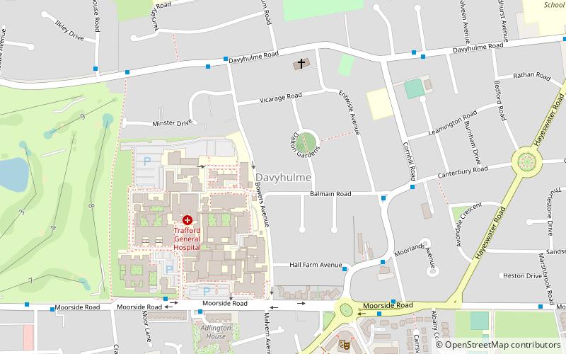
Map

Facts and practical information
Davyhulme is an area of Urmston in Greater Manchester, England, historically in Lancashire. The population at the 2011 census was 19,634. ()
Coordinates: 53°27'17"N, 2°22'4"W
Address
Trafford (Davyhulme West)Manchester
ContactAdd
Social media
Add
Day trips
Davyhulme – popular in the area (distance from the attraction)
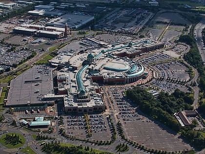
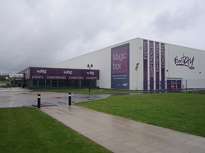
Nearby attractions include: Chill Factore, intu Trafford Centre, AJ Bell Stadium, EventCity.
Frequently Asked Questions (FAQ)
Which popular attractions are close to Davyhulme?
Nearby attractions include Urmston, Manchester (13 min walk), Davyhulme Sewage Works, Manchester (17 min walk).
How to get to Davyhulme by public transport?
The nearest stations to Davyhulme:
Bus
Train
Tram
Bus
- Cornhill Road/Balmain Road • Lines: 241, 247, 256, 258, 277 (4 min walk)
- Cornhill Road/Hall Farm Avenue • Lines: 241, 247, 256, (N) 256 (Night bus), 258, 277, 291 (4 min walk)
Train
- Chassen Road (15 min walk)
- Urmston (19 min walk)
Tram
- The Trafford Centre • Lines: Corn, TrfC (32 min walk)
- Barton Dock Road • Lines: Corn, TrfC (34 min walk)

 Metrolink
 Metrolink / Rail
