Newtown, Ashford

Map
Facts and practical information
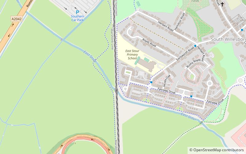
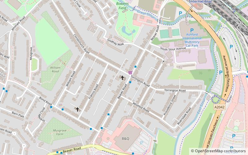
Newtown is a suburb of Ashford in Kent, South East England, it was originally built by the South Eastern Railway company, adjacent to the railway station, and includes extensive workshops known as Ashford railway works. It was originally intended to call the area Alfred Town but it quickly became known as New Town. By 1850 130 houses had been built for workshop workers. ()
Coordinates: 51°7'48"N, 0°52'48"E
Address
Ashford
ContactAdd
Social media
Add
Day trips
Newtown – popular in the area (distance from the attraction)
Nearby attractions include: Ashford Designer Outlet, Willesborough Windmill, Ashford Green Corridors, Christ Church.
Frequently Asked Questions (FAQ)
Which popular attractions are close to Newtown?
Nearby attractions include Ashford Green Corridors, Ashford (21 min walk), Christ Church, Ashford (21 min walk).
How to get to Newtown by public transport?
The nearest stations to Newtown:
Train
Bus
Train
- Ashford International (25 min walk)
Bus
- Ashford International Railway Station • Lines: 10 (26 min walk)
- Beaver Road Bridge • Lines: 666 (26 min walk)


