Moulsham, Chelmsford
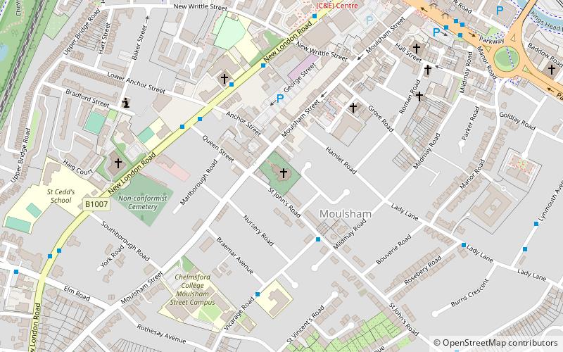
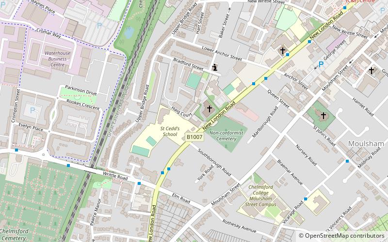
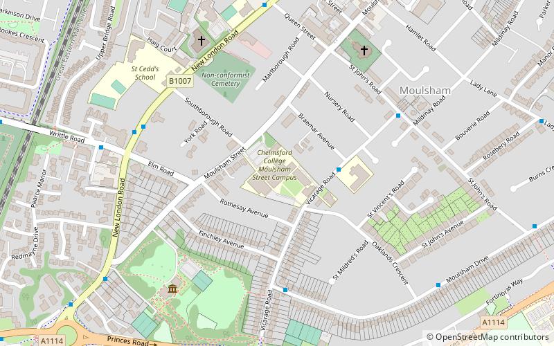
Map
Facts and practical information
Moulsham is a suburb of Chelmsford, Essex, England. It is located to the south of the city centre and has two distinct areas: Old Moulsham and Moulsham Lodge. ()
Coordinates: 51°43'38"N, 0°28'9"E
Getting there by public transportation
Public transportation stops near this location
- Bus
- Train
 Bus
Bus
- Calculate routeMildmay Road 3 min walk
- Calculate routeQueen Street 4 min walk
- Calculate routeRC Church 4 min walk
- Calculate routeVicarage Road 5 min walk
- Calculate routeChelmsford 17 min walk
Day trips


Frequently Asked Questions (FAQ)
Which popular attractions are close to Moulsham?
Nearby attractions include Our Lady Immaculate Church, Chelmsford (4 min walk), Chelmsford College, Chelmsford (5 min walk), St. Philip's Priory, Chelmsford (7 min walk), County Hall, Chelmsford (14 min walk).
How to get to Moulsham by public transport?
The nearest stations to Moulsham:
Bus
Train
Bus
- Mildmay Road • Lines: 47, 73A (3 min walk)
- Queen Street • Lines: 10, 100, 13, 13A, 14, 32, 350, 351, 42, 42A, 42B, 46 (4 min walk)
Train
- Chelmsford (17 min walk)