St. Philip's Priory, Chelmsford
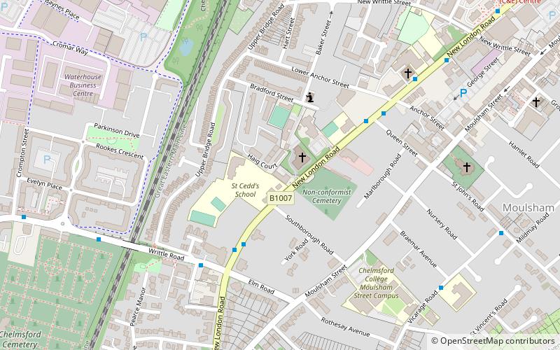
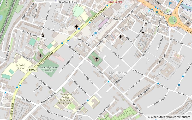
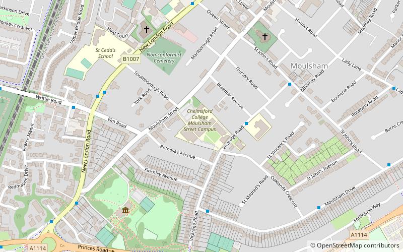
Map
Facts and practical information
St. Philip's Priory situated on New London Road in Chelmsford, Essex, UK is a Premonstratensian priory of canons regular. It is dedicated to Our Lady Queen of Sorrows and St. Philip Benizi. ()
Coordinates: 51°43'38"N, 0°27'49"E
Address
Moulsham and CentralChelmsford
ContactAdd
Social media
Add
Getting there by public transportation
Public transportation stops near this location
- Bus
- Train
 Bus
Bus
- Calculate routeSouth Lodge Hotel 3 min walk
- Calculate routeQueen Street 4 min walk
- Calculate routeBBC Essex 5 min walk
- Calculate routeRC Church 7 min walk
- Calculate routeChelmsford 18 min walk
Day trips
St. Philip's Priory – popular in the area (distance from the attraction)
Nearby attractions include: Chelmsford Cathedral, Hylands House, Chelmer Valley Riverside, Our Lady Immaculate Church.


Frequently Asked Questions (FAQ)
Which popular attractions are close to St. Philip's Priory?
Nearby attractions include Chelmsford College, Chelmsford (6 min walk), Our Lady Immaculate Church, Chelmsford (6 min walk), Moulsham, Chelmsford (7 min walk), County Hall, Chelmsford (16 min walk).
How to get to St. Philip's Priory by public transport?
The nearest stations to St. Philip's Priory:
Bus
Train
Bus
- South Lodge Hotel • Lines: 10, 100, 13, 13A, 14, 32, 350, 351, 42, 42A, 42B, 46 (3 min walk)
- Queen Street • Lines: 10, 100, 13, 13A, 14, 32, 350, 351, 42, 42A, 42B, 46 (4 min walk)
Train
- Chelmsford (18 min walk)