Chelmsford College, Chelmsford
Map
Facts and practical information
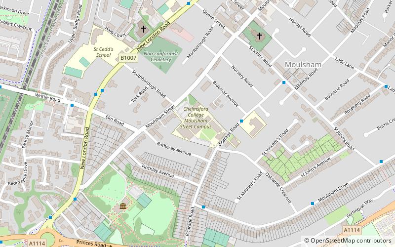
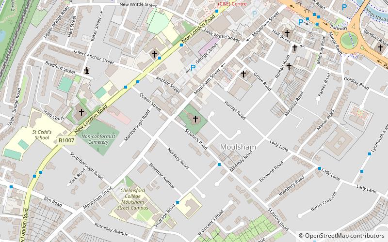
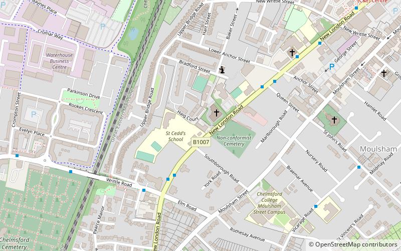
Chelmsford College is a further education college based in Chelmsford, Essex, England, established in 1962. It has two main campuses, one original site at Moulsham Street and a second in Princes Road. It is a medium-sized college offering 16-19 study programmes, apprenticeships and courses for adults. ()
Coordinates: 51°43'30"N, 0°27'60"E
Getting there by public transportation
Public transportation stops near this location
- Bus
- Train
 Bus
Bus
- Calculate routeVicarage Road 3 min walk
- Calculate routeOaklands Park 4 min walk
- Calculate routeMildmay Road 5 min walk
- Calculate routeSouth Lodge Hotel 5 min walk
- Calculate routeChelmsford 21 min walk
Day trips
Chelmsford College – popular in the area (distance from the attraction)
Nearby attractions include: Chelmsford Cathedral, Our Lady Immaculate Church, Essex Record Office, County Hall.


Frequently Asked Questions (FAQ)
Which popular attractions are close to Chelmsford College?
Nearby attractions include Moulsham, Chelmsford (5 min walk), St. Philip's Priory, Chelmsford (6 min walk), Our Lady Immaculate Church, Chelmsford (8 min walk), County Hall, Chelmsford (18 min walk).
How to get to Chelmsford College by public transport?
The nearest stations to Chelmsford College:
Bus
Train
Bus
- Vicarage Road • Lines: 47, 73A (3 min walk)
- Oaklands Park • Lines: 47, 73A (4 min walk)
Train
- Chelmsford (21 min walk)