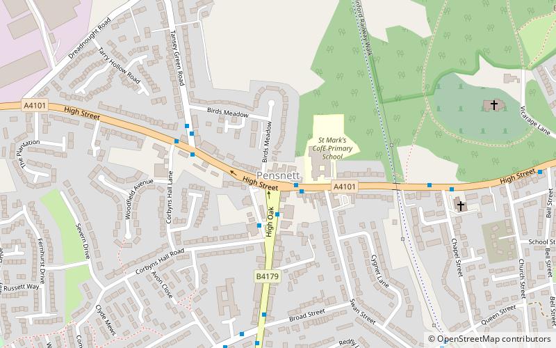
Pensnett, Dudley
Map

Map

Facts and practical information
Pensnett is an area of the Metropolitan Borough of Dudley, West Midlands, England, 2.3 miles south-west of central Dudley. Pensnett has been a part of Dudley since 1966, when the Brierley Hill Urban District, of which it was a part, was absorbed into the County Borough of Dudley, later the Metropolitan Borough of Dudley from 1974. ()
Coordinates: 52°30'4"N, 2°8'0"W
Address
Dudley (Brockmoor and Pensnett)Dudley
ContactAdd
Social media
Add
Day trips
Pensnett – popular in the area (distance from the attraction)
Nearby attractions include: Barrow Hill, Pensnett Canal, Fens Pools, The Crooked House.
Frequently Asked Questions (FAQ)
Which popular attractions are close to Pensnett?
Nearby attractions include Barrow Hill, Dudley (12 min walk), Fens Pools, Dudley (16 min walk), Buckpool and Fens Pool Local Nature Reserve, Dudley (17 min walk).
How to get to Pensnett by public transport?
The nearest stations to Pensnett:
Bus
Bus
- Commonside / Tiled House Lane • Lines: 15, 15A (6 min walk)
- Tiled House Lane / Tiled House Lane • Lines: 15, 15A (10 min walk)


