Oxley Woods, Milton Keynes
Map

Map

Facts and practical information
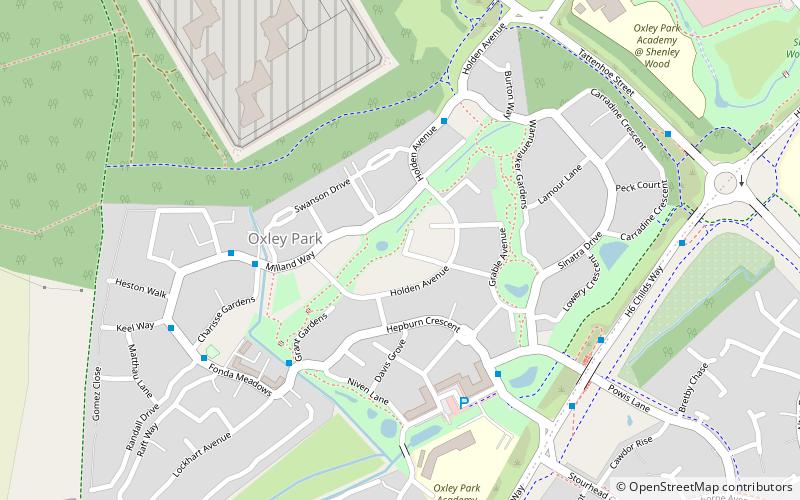
Oxley Woods is a housing development in Oxley Park, a district of Milton Keynes, Buckinghamshire, England. The development was designed by Rogers Stirk Harbour + Partners and built by Newton Woods, who were subcontracted by Taylor Wimpey after winning the Office of the Deputy Prime Minister's Design for Manufacture Competition, which was run by English Partnerships in 2005. ()
Elevation: 364 ft a.s.l.Coordinates: 52°0'33"N, 0°48'19"W
Address
Shenley Church End (Oxley Park)Milton Keynes
ContactAdd
Social media
Add
Day trips
Oxley Woods – popular in the area (distance from the attraction)
Nearby attractions include: St Mary's Church, Howe Park Wood, St Giles's Church, Tattenhoe.
Frequently Asked Questions (FAQ)
Which popular attractions are close to Oxley Woods?
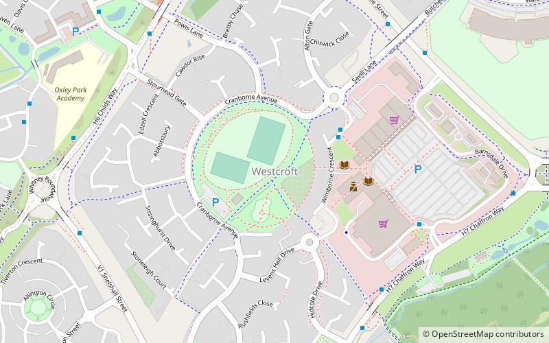
Nearby attractions include Westcroft, Milton Keynes (12 min walk), Howe Park Wood, Milton Keynes (24 min walk).


