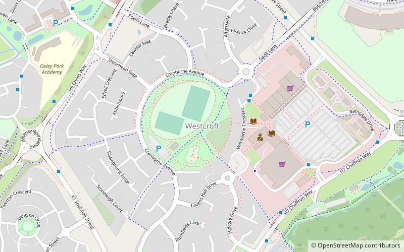
Westcroft, Milton Keynes
Map
Facts and practical information
Westcroft is a district in the western part of Milton Keynes, Buckinghamshire, England, in the civil parish of Shenley Brook End. ()
Coordinates: 52°0'16"N, 0°47'52"W
Address
Shenley Brook End (Westcroft)Milton Keynes
ContactAdd
Social media
Add
Day trips


Frequently Asked Questions (FAQ)
Which popular attractions are close to Westcroft?
Nearby attractions include Oxley Woods, Milton Keynes (12 min walk), Howe Park Wood, Milton Keynes (12 min walk), St Giles's Church, Milton Keynes (13 min walk), Tattenhoe, Milton Keynes (17 min walk).