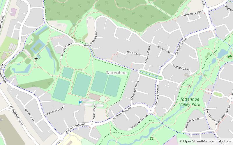
Tattenhoe, Milton Keynes

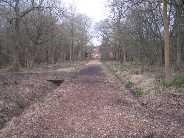
Gallery (2)
Map
Map
Gallery
Facts and practical information
Tattenhoe and Tattenhoe Park are adjacent districts of Milton Keynes, England, in the ancient parish of Tattenhoe. The are located at the south-western edge of the Borough of Milton Keynes, next to Whaddon in Aylesbury Vale, not far from the ruins of Snelshall Priory. ()
Address
Holborn CrescentShenley Brook End (Tattenhoe)Milton Keynes
ContactAdd
Social media
Add
Day trips


Frequently Asked Questions (FAQ)
Which popular attractions are close to Tattenhoe?
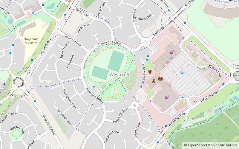
Nearby attractions include St Giles's Church, Milton Keynes (7 min walk), Howe Park Wood, Milton Keynes (8 min walk), Westcroft, Milton Keynes (17 min walk).