Ynys-hir RSPB reserve

Gallery (2)
Map
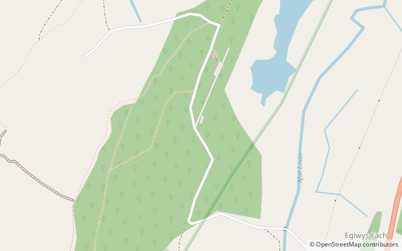
Map
Gallery
Facts and practical information
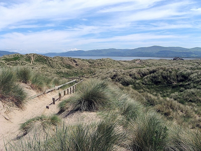
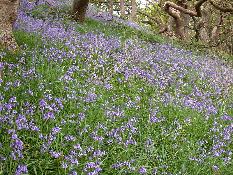
Ynys-hir RSPB reserve is a nature reserve of the RSPB situated beside the Dyfi estuary in Ceredigion, mid Wales between Aberystwyth and Machynlleth. The reserve covers 550 hectares and includes a variety of habitats extending inland from mudflats and salt marsh through farmland and pools to oak woodland and hillside scrub. Facilities include a small visitor centre and seven hides. ()
Area: 2.12 mi²Coordinates: 52°32'48"N, 3°56'43"W
Location
Wales
ContactAdd
Social media
Add
Day trips