Pate Hole, Yorkshire Dales National Park

Gallery (1)
Map
Map
Facts and practical information
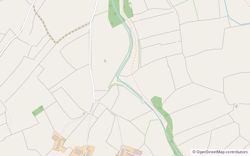
Pate Hole is a solutional cave located adjacent to Asby Gill 1 kilometre south of Great Asby in Cumbria, England. It is 970 metres long and has a vertical range of 33 metres. The entrance is normally dry, but in flood it becomes an impressive resurgence. Its name derives from the north country word for badger. ()
Length: 3182 ftDepth: 108 ftCoordinates: 54°30'13"N, 2°29'53"W
Address
Yorkshire Dales National Park
ContactAdd
Social media
Add
Day trips


