Sunbiggin Tarn, Kirkby Stephen

Gallery (1)
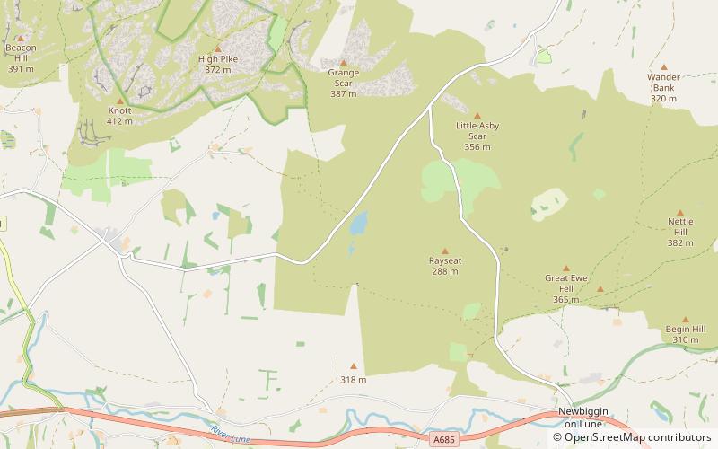
Map
Map
Facts and practical information
Sunbiggin Tarn is a tarn near Sunbiggin in Cumbria. It is in a Site of Special Scientific Interest which also includes the surrounding moorland and limestone pavement of Little Asby Scar. ()
Elevation: 833 ft a.s.l.Coordinates: 54°27'49"N, 2°30'2"W
Address
Kirkby Stephen
ContactAdd
Social media
Add
Day trips