Castle Folds

Gallery (1)
Map
Map
Facts and practical information
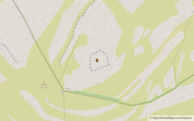
Castle Folds or Castlesteads was a Romano-British walled settlement on Great Asby Scar – an area of limestone pavement in the parish of Asby, Cumbria, England. In medieval times, it was used as a shieling – a temporary summer shelter. It is now in ruins but is protected as a scheduled monument. ()
Coordinates: 54°28'42"N, 2°32'30"W
Location
England
ContactAdd
Social media
Add
Day trips


