Beinn an Fhogharaidh, Loch Lomond and The Trossachs National Park

Gallery (1)
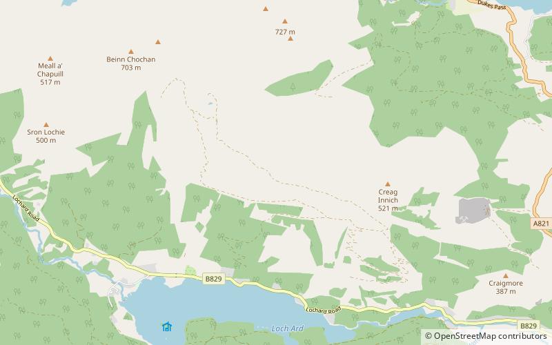
Map
Map
Facts and practical information
Beinn an Fhogharaidh is a mountain ridge, 616 metres high, in the southern Scottish Highlands near the village of Aberfoyle in Stirling council area, Scotland. ()
Elevation: 2021 ftProminence: 69 ftCoordinates: 56°12'8"N, 4°27'35"W
Address
Loch Lomond and The Trossachs National Park
ContactAdd
Social media
Add
Day trips