Glen Finglas, Loch Lomond and The Trossachs National Park
Map

Map

Facts and practical information
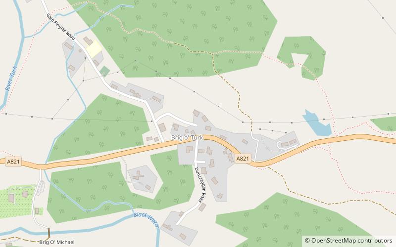
Glen Finglas is a glen in the Trossachs, in the Stirling council area of Scotland. It is an area of forest in Highlands of the former county of Perthshire, north of Brig o' Turk, close to Callander in Menteith. To the west is Loch Katrine. ()
Coordinates: 56°13'48"N, 4°21'43"W
Address
Loch Lomond and The Trossachs National Park
ContactAdd
Social media
Add
Day trips
Glen Finglas – popular in the area (distance from the attraction)
Nearby attractions include: Inchmahome Priory, Ben A'an, Falls of Leny, Ben Ledi.


