Otterbourne Village Hall, Otterbourne

Gallery (1)
Map
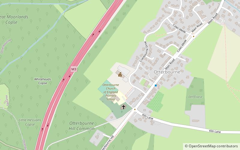
Map
Facts and practical information
Otterbourne Village Hall (address: Cranbourne Drive, Otterbourne) is a place located in Otterbourne (England kingdom) and belongs to the category of city hall.
It is situated at an altitude of 118 feet, and its geographical coordinates are 51°0'16"N latitude and 1°21'2"W longitude.
Among other places and attractions worth visiting in the area are: Netley Abbey (monastery, 15 min walk), Cranbury Park, Southampton (park, 18 min walk), Hockley Meadows (park, 49 min walk).
Coordinates: 51°0'16"N, 1°21'2"W
Day trips