Aldrington, Brighton

Map
Facts and practical information
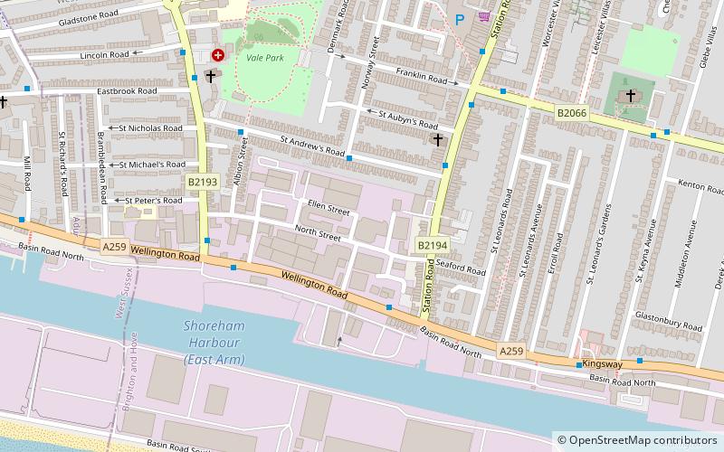
Aldrington is an area of the city of Brighton and Hove, previously part of the old borough of Hove. For centuries it was meadow land along the English Channel stretching west from the old village of Hove to the old mouth of the River Adur, and it is now a prosperous residential area integrated within Hove. ()
Coordinates: 50°49'52"N, 0°12'36"W
Address
Portslade-by-SeaBrighton
ContactAdd
Social media
Add
Day trips
Aldrington – popular in the area (distance from the attraction)
Nearby attractions include: West Blatchington Windmill, Town Hall, St Nicolas Church, St Peter's Church.
Frequently Asked Questions (FAQ)
Which popular attractions are close to Aldrington?
Nearby attractions include St Leonard's Church, Brighton (8 min walk), Southwick Ship Canal, Brighton (11 min walk), Shri Swaminarayan Mandir, Brighton (13 min walk), Town Hall, Brighton (13 min walk).
How to get to Aldrington by public transport?
The nearest stations to Aldrington:
Bus
Train
Bus
- Norway Street • Lines: 16 (2 min walk)
- Station Road • Lines: 1, 16, 1A, 60, 700, N1 (3 min walk)
Train
- Portslade (10 min walk)
- Fishersgate (13 min walk)


